Area Overview for GU9 7BN
Photos of GU9 7BN
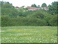
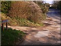
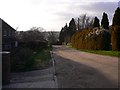
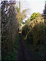
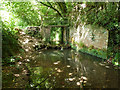
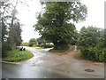
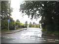
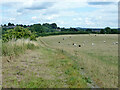
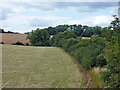
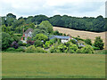

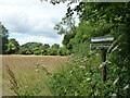
22 photos from this area
Area Information
Key information about the GU9 7BN including its size, population, and administrative classification.
- Area Type
- Postcode
- Area Size
- 1.2 hectares
- Population
- 1406
- Population Density
- 236 people/km²
House Prices in GU9 7BN
26
Properties
£424,347
Average Sold Price
£115,000
Lowest Price
£720,750
Highest Price
Showing 26 properties
| Address | Type | Beds | Baths | Last Sale Price | Last Sale Date | |
|---|---|---|---|---|---|---|
| 27 Marston Road, Farnham, GU9 7BN | Detached | 3 | 1 | £712,500 | Feb 2023 | |
| 6 MARSTON ROAD, Farnham, GU9 7BN | Retail | 3 | 1 | £720,750 | Jun 2022 | |
| 10 Marston Road, Farnham, GU9 7BN | Semi-detached | 3 | 1 | £550,000 | Feb 2022 | |
| 7 Marston Road, Farnham, GU9 7BN | Semi-detached | 3 | 1 | £540,000 | May 2021 | |
| 8 Marston Road, Farnham, GU9 7BN | Semi-detached | 5 | - | £636,750 | Nov 2020 | |
| 5 Marston Road, Farnham, GU9 7BN | Semi-detached | 4 | 2 | £545,000 | Mar 2019 | |
| 15 Marston Road, Farnham, GU9 7BN | Detached | 3 | 2 | £456,250 | Oct 2016 | |
| 12 Marston Road, Farnham, GU9 7BN | Detached | 4 | 1 | £625,000 | Jul 2015 | |
| 21 Marston Road, Farnham, GU9 7BN | Semi-detached | 4 | 2 | £470,000 | Aug 2014 | |
| 14 Marston Road, Farnham, GU9 7BN | house | 4 | - | £410,000 | Nov 2011 |
Page 1 of 3
Energy Efficiency in GU9 7BN
Amenities
Schools
| Rank | School | Type | Entry gender | Ages |
|---|
Explore more schools in this area
Go to Schools tabDemographics
Household Size
Two person
most common
Accommodation Type
Houses
most common
Tenure
79
majority
Ethnic Group
White
most common
Religion
N/A
most common
Household Composition
N/A
most common
Age
47
median
Adults (30-64 years)
most common
Household Deprivation
N/A
with no deprivation
NS-SEC
47
in Lower managerial occupations
Explore more demographic insights in this area
Go to Demographics tabPlanning
Planning Constraints
- Flood RiskPremium
- Ramsar Wetland SitesPremium
- Area of Outstanding Natural BeautyPremium
- Protected Nature ReservePremium
- Protected WoodlandPremium