Area Overview for GU9 7BL
Photos of GU9 7BL
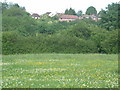
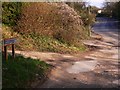
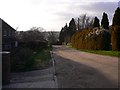
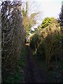
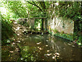
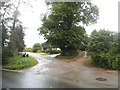
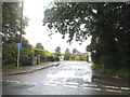
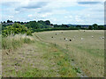
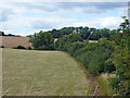
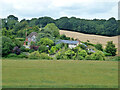
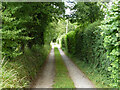
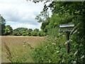
22 photos from this area
Area Information
Key information about the GU9 7BL including its size, population, and administrative classification.
- Area Type
- Postcode
- Area Size
- 5314 m²
- Population
- 1406
- Population Density
- 236 people/km²
House Prices in GU9 7BL
11
Properties
£311,857
Average Sold Price
£148,500
Lowest Price
£467,500
Highest Price
Showing 11 properties
| Address | Type | Beds | Baths | Last Sale Price | Last Sale Date | |
|---|---|---|---|---|---|---|
| Lime End, Waynflete Lane, Farnham, GU9 7BL | Terraced | 3 | 1 | £467,500 | Sep 2024 | |
| Poppins, Waynflete Lane, Farnham, GU9 7BL | house | 5 | 1 | £400,000 | Apr 2024 | |
| 34 Waynflete Lane, Farnham, GU9 7BL | Terraced | 3 | 2 | £300,000 | Sep 2020 | |
| Joynings, Waynflete Lane, Farnham, GU9 7BL | house | - | - | £390,000 | Dec 2018 | |
| 42 Waynflete Lane, Farnham, GU9 7BL | house | 3 | - | £310,000 | Mar 2010 | |
| Hillview, Waynflete Lane, Farnham, GU9 7BL | Semi-detached | - | - | £167,000 | Jun 2002 | |
| 36 Waynflete Lane, Farnham, GU9 7BL | Terraced | 2 | 1 | £148,500 | Apr 2002 | |
| 40 Waynflete Lane, Farnham, GU9 7BL | house | 2 | 1 | - | - | |
| 44 Waynflete Lane, Farnham, GU9 7BL | Detached | - | - | - | - | |
| 38 Waynflete Lane, Farnham, GU9 7BL | Terraced | - | - | - | - |
Page 1 of 2
Energy Efficiency in GU9 7BL
Amenities
Schools
| Rank | School | Type | Entry gender | Ages |
|---|
Explore more schools in this area
Go to Schools tabDemographics
Household Size
Two person
most common
Accommodation Type
Houses
most common
Tenure
79
majority
Ethnic Group
White
most common
Religion
N/A
most common
Household Composition
N/A
most common
Age
47
median
Adults (30-64 years)
most common
Household Deprivation
N/A
with no deprivation
NS-SEC
47
in Lower managerial occupations
Explore more demographic insights in this area
Go to Demographics tabPlanning
Planning Constraints
- Flood RiskPremium
- Ramsar Wetland SitesPremium
- Area of Outstanding Natural BeautyPremium
- Protected Nature ReservePremium
- Protected WoodlandPremium