Area Overview for GU52 8BD
Photos of GU52 8BD
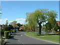
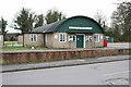
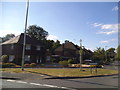
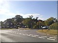
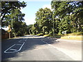
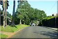
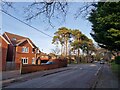

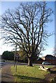

25 photos from this area
Area Information
Key information about the GU52 8BD including its size, population, and administrative classification.
- Area Type
- Postcode
- Area Size
- 4325 m²
- Population
- 2139
- Population Density
- 3008 people/km²
House Prices in GU52 8BD
20
Properties
£467,917
Average Sold Price
£270,000
Lowest Price
£675,000
Highest Price
Showing 20 properties
| Address | Type | Beds | Baths | Last Sale Price | Last Sale Date | |
|---|---|---|---|---|---|---|
| 24 Stevens Way, Church Crookham, Fleet, GU52 8BD | Semi-detached | 4 | 2 | £485,000 | Oct 2024 | |
| 26 Stevens Way, Church Crookham, Fleet, GU52 8BD | house | - | - | £675,000 | May 2024 | |
| 20 Stevens Way, Church Crookham, Fleet, GU52 8BD | Semi-detached | 4 | 2 | £460,000 | Sep 2021 | |
| 5 Stevens Way, Church Crookham, Fleet, GU52 8BD | house | - | - | £430,000 | Apr 2021 | |
| 18 Stevens Way, Church Crookham, Fleet, GU52 8BD | Terraced | 3 | 1 | £475,000 | Nov 2019 | |
| 11 Stevens Way, Church Crookham, Fleet, GU52 8BD | house | - | - | £490,000 | Jul 2017 | |
| 13 Stevens Way, Church Crookham, Fleet, GU52 8BD | house | - | - | £595,000 | Jul 2017 | |
| 9 Stevens Way, Church Crookham, Fleet, GU52 8BD | house | - | - | £485,000 | Jun 2017 | |
| 7 Stevens Way, Church Crookham, Fleet, GU52 8BD | house | - | - | £465,000 | Jun 2017 | |
| 1 Stevens Way, Church Crookham, Fleet, GU52 8BD | Flat | 2 | - | £270,000 | May 2017 |
Page 1 of 2
Energy Efficiency in GU52 8BD
Amenities
Schools
| Rank | School | Type | Entry gender | Ages |
|---|
Explore more schools in this area
Go to Schools tabDemographics
Household Size
Family (3-5 people)
most common
Accommodation Type
Houses
most common
Tenure
73
majority
Ethnic Group
White
most common
Religion
N/A
most common
Household Composition
N/A
most common
Age
47
median
Adults (30-64 years)
most common
Household Deprivation
N/A
with no deprivation
NS-SEC
53
in Lower managerial occupations
Explore more demographic insights in this area
Go to Demographics tabPlanning
Planning Constraints
- Flood RiskPremium
- Ramsar Wetland SitesPremium
- Area of Outstanding Natural BeautyPremium
- Protected Nature ReservePremium
- Protected WoodlandPremium