Area Overview for GU52 0ZF
Photos of GU52 0ZF
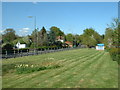

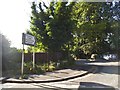

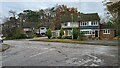
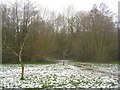
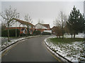
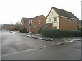
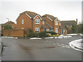
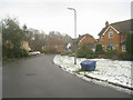
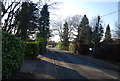
43 photos from this area
Area Information
Key information about the GU52 0ZF including its size, population, and administrative classification.
- Area Type
- Postcode
- Area Size
- 6591 m²
- Population
- 1603
- Population Density
- 3037 people/km²
House Prices in GU52 0ZF
13
Properties
£350,535
Average Sold Price
£126,950
Lowest Price
£665,000
Highest Price
Showing 13 properties
| Address | Type | Beds | Baths | Last Sale Price | Last Sale Date | |
|---|---|---|---|---|---|---|
| 56 Danvers Drive, Church Crookham, Fleet, GU52 0ZF | Detached | 4 | 2 | £625,000 | Oct 2025 | |
| 50 Danvers Drive, Church Crookham, Fleet, GU52 0ZF | Detached | 3 | 2 | £500,000 | Jan 2023 | |
| 66 Danvers Drive, Church Crookham, Fleet, GU52 0ZF | Detached | 4 | - | £665,000 | Jun 2021 | |
| 64 Danvers Drive, Church Crookham, Fleet, GU52 0ZF | Detached | 4 | 1 | £550,000 | Jan 2018 | |
| 62 Danvers Drive, Church Crookham, Fleet, GU52 0ZF | house | - | - | £415,000 | Jul 2010 | |
| 72 Danvers Drive, Church Crookham, Fleet, GU52 0ZF | Detached | - | - | £280,000 | Aug 2006 | |
| 70 Danvers Drive, Church Crookham, Fleet, GU52 0ZF | Detached | - | - | £405,000 | Jun 2003 | |
| 68 Danvers Drive, Church Crookham, Fleet, GU52 0ZF | Detached | - | - | £320,000 | Dec 2002 | |
| 52 Danvers Drive, Church Crookham, Fleet, GU52 0ZF | Detached | - | - | £235,000 | Apr 2001 | |
| 74 Danvers Drive, Church Crookham, Fleet, GU52 0ZF | Detached | - | - | £142,000 | Feb 1999 |
Page 1 of 2
Energy Efficiency in GU52 0ZF
Amenities
Schools
| Rank | School | Type | Entry gender | Ages |
|---|
Explore more schools in this area
Go to Schools tabDemographics
Household Size
Family (3-5 people)
most common
Accommodation Type
Houses
most common
Tenure
87
majority
Ethnic Group
White
most common
Religion
N/A
most common
Household Composition
N/A
most common
Age
47
median
Adults (30-64 years)
most common
Household Deprivation
N/A
with no deprivation
NS-SEC
53
in Lower managerial occupations
Explore more demographic insights in this area
Go to Demographics tabPlanning
Planning Constraints
- Flood RiskPremium
- Ramsar Wetland SitesPremium
- Area of Outstanding Natural BeautyPremium
- Protected Nature ReservePremium
- Protected WoodlandPremium