Area Overview for GU52 0YY
Photos of GU52 0YY
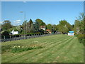

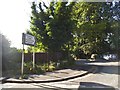

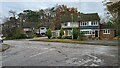
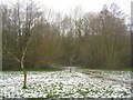
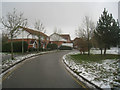
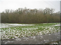
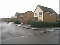
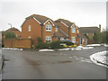
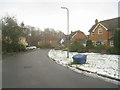
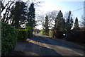
43 photos from this area
Area Information
Key information about the GU52 0YY including its size, population, and administrative classification.
- Area Type
- Postcode
- Area Size
- 8748 m²
- Population
- 1798
- Population Density
- 4668 people/km²
House Prices in GU52 0YY
13
Properties
£346,646
Average Sold Price
£207,950
Lowest Price
£667,000
Highest Price
Showing 13 properties
| Address | Type | Beds | Baths | Last Sale Price | Last Sale Date | |
|---|---|---|---|---|---|---|
| 33 Browning Road, Church Crookham, Fleet, GU52 0YY | Detached | 4 | 2 | £667,000 | Jul 2025 | |
| 51 Browning Road, Church Crookham, Fleet, GU52 0YY | house | 1 | 2 | £350,000 | Sep 2023 | |
| 53 Browning Road, Church Crookham, Fleet, GU52 0YY | Terraced | 1 | 1 | £246,000 | Feb 2022 | |
| 71 Browning Road, Church Crookham, Fleet, GU52 0YY | house | 1 | - | £228,000 | Dec 2019 | |
| 83 Browning Road, Church Crookham, Fleet, GU52 0YY | Detached | 3 | - | £377,500 | Mar 2017 | |
| 31 Browning Road, Church Crookham, Fleet, GU52 0YY | Detached | 4 | 2 | £505,000 | May 2016 | |
| 81 Browning Road, Church Crookham, Fleet, GU52 0YY | house | - | - | £360,000 | Apr 2014 | |
| 29 Browning Road, Church Crookham, Fleet, GU52 0YY | house | - | - | £400,000 | Apr 2013 | |
| 85 Browning Road, Church Crookham, Fleet, GU52 0YY | Detached | 3 | 2 | £285,000 | Aug 2012 | |
| 37 Browning Road, Church Crookham, Fleet, GU52 0YY | Detached | - | - | £400,000 | Nov 2006 |
Page 1 of 2
Energy Efficiency in GU52 0YY
Amenities
Schools
| Rank | School | Type | Entry gender | Ages |
|---|
Explore more schools in this area
Go to Schools tabDemographics
Household Size
Family (3-5 people)
most common
Accommodation Type
Houses
most common
Tenure
72
majority
Ethnic Group
White
most common
Religion
N/A
most common
Household Composition
N/A
most common
Age
47
median
Adults (30-64 years)
most common
Household Deprivation
N/A
with no deprivation
NS-SEC
50
in Lower managerial occupations
Explore more demographic insights in this area
Go to Demographics tabPlanning
Planning Constraints
- Flood RiskPremium
- Ramsar Wetland SitesPremium
- Area of Outstanding Natural BeautyPremium
- Protected Nature ReservePremium
- Protected WoodlandPremium