Area Overview for GU51 4QR
Photos of GU51 4QR
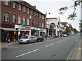

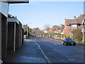
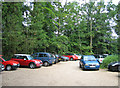
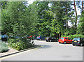
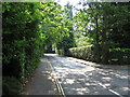
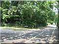
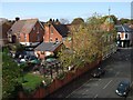
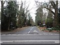
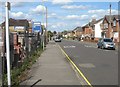
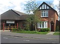
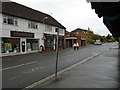
100 photos from this area
Area Information
Key information about the GU51 4QR including its size, population, and administrative classification.
- Area Type
- Postcode
- Area Size
- 1.7 hectares
- Population
- 2010
- Population Density
- 2799 people/km²
House Prices in GU51 4QR
11
Properties
£780,800
Average Sold Price
£510,200
Lowest Price
£1,450,000
Highest Price
Showing 11 properties
| Address | Type | Beds | Baths | Last Sale Price | Last Sale Date | |
|---|---|---|---|---|---|---|
| Squirrels Leap, Queen Mary Close, Fleet, GU51 4QR | Detached | 2 | 2 | £1,450,000 | Aug 2024 | |
| 1 Queen Mary Close, Fleet, GU51 4QR | house | - | - | £917,000 | Apr 2022 | |
| 7 Queen Mary Close, Fleet, GU51 4QR | Detached | 4 | 2 | £795,000 | Feb 2021 | |
| 6 Queen Mary Close, Fleet, GU51 4QR | Detached | 4 | - | £735,000 | May 2017 | |
| 3 Queen Mary Close, Fleet, GU51 4QR | Detached | 4 | - | £675,000 | Oct 2014 | |
| 5 Queen Mary Close, Fleet, GU51 4QR | Detached | 4 | 2 | £675,000 | Aug 2014 | |
| Stuart Court, Queen Mary Close, Fleet, GU51 4QR | Detached | - | - | £715,000 | Sep 2005 | |
| 8 Queen Mary Close, Fleet, GU51 4QR | Detached | - | - | £555,000 | May 2005 | |
| 4 Queen Mary Close, Fleet, GU51 4QR | Detached | - | - | £510,200 | Dec 2003 | |
| Eastwood House, Queen Mary Close, Fleet, GU51 4QR | Detached | 5 | - | - | - |
Page 1 of 2
Energy Efficiency in GU51 4QR
Amenities
Schools
| Rank | School | Type | Entry gender | Ages |
|---|
Explore more schools in this area
Go to Schools tabDemographics
Household Size
One person
most common
Accommodation Type
Houses
most common
Tenure
79
majority
Ethnic Group
White
most common
Religion
N/A
most common
Household Composition
N/A
most common
Age
47
median
Adults (30-64 years)
most common
Household Deprivation
N/A
with no deprivation
NS-SEC
49
in Lower managerial occupations
Explore more demographic insights in this area
Go to Demographics tabPlanning
Planning Constraints
- Flood RiskPremium
- Ramsar Wetland SitesPremium
- Area of Outstanding Natural BeautyPremium
- Protected Nature ReservePremium
- Protected WoodlandPremium