Area Overview for GU51 4NG
Photos of GU51 4NG
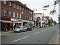
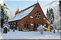
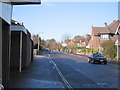
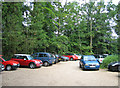
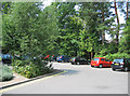
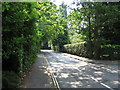
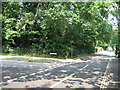
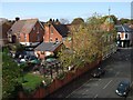
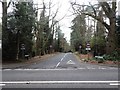
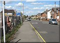
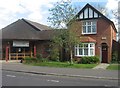
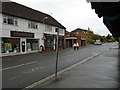
100 photos from this area
Area Information
Key information about the GU51 4NG including its size, population, and administrative classification.
- Area Type
- Postcode
- Area Size
- 5.1 hectares
- Population
- 2010
- Population Density
- 2799 people/km²
House Prices in GU51 4NG
28
Properties
£937,238
Average Sold Price
£373,000
Lowest Price
£1,500,000
Highest Price
Showing 28 properties
| Address | Type | Beds | Baths | Last Sale Price | Last Sale Date | |
|---|---|---|---|---|---|---|
| Courtenay, Avenue Road, Fleet, GU51 4NG | Detached | 4 | 3 | £1,195,000 | Feb 2025 | |
| Sandy Lodge, Avenue Road, Fleet, GU51 4NG | Detached | 6 | 3 | £1,500,000 | Apr 2024 | |
| Avenue House, Avenue Road, Fleet, GU51 4NG | house | - | - | £1,350,000 | Sep 2023 | |
| Amberleigh House, Avenue Road, Fleet, GU51 4NG | Detached | 5 | 3 | £1,230,000 | Jan 2021 | |
| Haglehurst, Avenue Road, Fleet, GU51 4NG | Detached | 5 | 4 | £1,395,000 | Jul 2020 | |
| Penralt, Avenue Road, Fleet, GU51 4NG | Detached | 6 | - | £1,480,000 | Oct 2019 | |
| Foxway Rise, Avenue Road, Fleet, GU51 4NG | Detached | 5 | - | £1,193,750 | Oct 2018 | |
| Craigavon, Avenue Road, Fleet, GU51 4NG | Detached | 5 | 3 | £820,000 | Mar 2013 | |
| Ormonde, Avenue Road, Fleet, GU51 4NG | house | - | - | £995,000 | Nov 2011 | |
| Platt Croft, Avenue Road, Fleet, GU51 4NG | house | - | - | £650,000 | Nov 2010 |
Page 1 of 3
Energy Efficiency in GU51 4NG
Amenities
Schools
| Rank | School | Type | Entry gender | Ages |
|---|
Explore more schools in this area
Go to Schools tabDemographics
Household Size
One person
most common
Accommodation Type
Houses
most common
Tenure
79
majority
Ethnic Group
White
most common
Religion
N/A
most common
Household Composition
N/A
most common
Age
47
median
Adults (30-64 years)
most common
Household Deprivation
N/A
with no deprivation
NS-SEC
49
in Lower managerial occupations
Explore more demographic insights in this area
Go to Demographics tabPlanning
Planning Constraints
- Flood RiskPremium
- Ramsar Wetland SitesPremium
- Area of Outstanding Natural BeautyPremium
- Protected Nature ReservePremium
- Protected WoodlandPremium