Area Overview for GU5 9LR
Photos of GU5 9LR
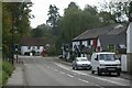
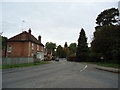
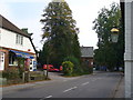
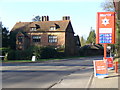
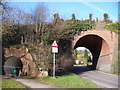
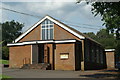
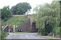
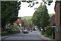
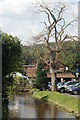
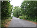
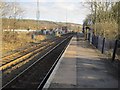
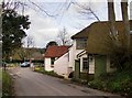
100 photos from this area
Area Information
Key information about the GU5 9LR including its size, population, and administrative classification.
- Area Type
- Postcode
- Area Size
- 2.7 hectares
- Population
- 2003
- Population Density
- 125 people/km²
House Prices in GU5 9LR
37
Properties
£351,544
Average Sold Price
£86,000
Lowest Price
£472,850
Highest Price
Showing 37 properties
| Address | Type | Beds | Baths | Last Sale Price | Last Sale Date | |
|---|---|---|---|---|---|---|
| 9 Towerhill, Gomshall, GU5 9LR | Semi-detached | 3 | 1 | £472,850 | Sep 2023 | |
| 25 Towerhill, Gomshall, GU5 9LR | house | - | - | £466,000 | Oct 2017 | |
| 27 Towerhill, Gomshall, GU5 9LR | Semi-detached | 3 | 1 | £347,000 | Apr 2017 | |
| 23 Towerhill, Gomshall, GU5 9LR | house | - | - | £330,000 | Mar 2016 | |
| 13 Towerhill, Gomshall, GU5 9LR | Semi-detached | 3 | 1 | £315,000 | Oct 2015 | |
| Farmview, 5A Towerhill, Gomshall, GU5 9LR | Detached | 3 | 1 | £455,000 | Aug 2015 | |
| 5 Towerhill, Gomshall, GU5 9LR | Semi-detached | 3 | 1 | £340,500 | Jun 2015 | |
| 39A Towerhill, Gomshall, GU5 9LR | Flat | - | - | £86,000 | Aug 1999 | |
| 31 Towerhill, Gomshall, GU5 9LR | Detached | 4 | 2 | - | - | |
| 45-47-A Towerhill, Gomshall, GU5 9LR | Semi-detached | - | - | - | - |
Page 1 of 4
Energy Efficiency in GU5 9LR
Amenities
Schools
| Rank | School | Type | Entry gender | Ages |
|---|
Explore more schools in this area
Go to Schools tabDemographics
Household Size
Two person
most common
Accommodation Type
Houses
most common
Tenure
60
majority
Ethnic Group
White
most common
Religion
N/A
most common
Household Composition
N/A
most common
Age
47
median
Adults (30-64 years)
most common
Household Deprivation
N/A
with no deprivation
NS-SEC
44
in Lower managerial occupations
Explore more demographic insights in this area
Go to Demographics tabPlanning
Planning Constraints
- Flood RiskPremium
- Ramsar Wetland SitesPremium
- Area of Outstanding Natural BeautyPremium
- Protected Nature ReservePremium
- Protected WoodlandPremium