Area Overview for GU46 6AG
Photos of GU46 6AG
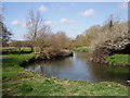

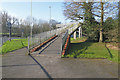
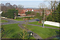

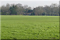
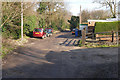
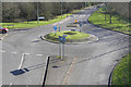
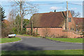
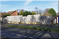
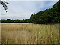
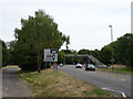
39 photos from this area
Area Information
Key information about the GU46 6AG including its size, population, and administrative classification.
- Area Type
- Postcode
- Area Size
- 10.2 hectares
- Population
- 1851
- Population Density
- 897 people/km²
House Prices in GU46 6AG
28
Properties
£464,612
Average Sold Price
£190,000
Lowest Price
£740,000
Highest Price
Showing 28 properties
| Address | Type | Beds | Baths | Last Sale Price | Last Sale Date | |
|---|---|---|---|---|---|---|
| 78 Potley Hill Road, Yateley, GU46 6AG | Detached | 3 | 1 | £710,000 | Jul 2024 | |
| 83 Potley Hill Road, Yateley, GU46 6AG | Detached | 5 | 4 | £740,000 | Dec 2019 | |
| 82 Potley Hill Road, Yateley, GU46 6AG | Detached | 4 | - | £528,000 | Mar 2017 | |
| 88 Potley Hill Road, Yateley, GU46 6AG | house | - | - | £650,000 | Mar 2016 | |
| White Gables, 55A Potley Hill Road, Yateley, GU46 6AG | house | - | - | £730,000 | Jun 2014 | |
| 90 Potley Hill Road, Yateley, GU46 6AG | house | - | - | £655,000 | Dec 2013 | |
| Bel Air Cottage, 55 Potley Hill Road, Yateley, GU46 6AG | Semi-detached | 3 | 1 | £210,000 | Jun 2012 | |
| Horseshoe Cottage, 80 Potley Hill Road, Yateley, GU46 6AG | Detached | 4 | 2 | £452,000 | Dec 2010 | |
| 79 Potley Hill Road, Yateley, GU46 6AG | Detached | 4 | 2 | £249,950 | Jan 2010 | |
| 81 Potley Hill Road, Yateley, GU46 6AG | Detached | 4 | - | £320,000 | Sep 2007 |
Page 1 of 3
Energy Efficiency in GU46 6AG
Amenities
Schools
| Rank | School | Type | Entry gender | Ages |
|---|
Explore more schools in this area
Go to Schools tabDemographics
Household Size
Family (3-5 people)
most common
Accommodation Type
Houses
most common
Tenure
85
majority
Ethnic Group
White
most common
Religion
N/A
most common
Household Composition
N/A
most common
Age
47
median
Adults (30-64 years)
most common
Household Deprivation
N/A
with no deprivation
NS-SEC
45
in Lower managerial occupations
Explore more demographic insights in this area
Go to Demographics tabPlanning
Planning Constraints
- Flood RiskPremium
- Ramsar Wetland SitesPremium
- Area of Outstanding Natural BeautyPremium
- Protected Nature ReservePremium
- Protected WoodlandPremium