Area Overview for GU4 8LX
Photos of GU4 8LX
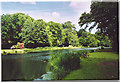
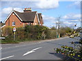
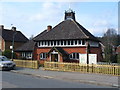
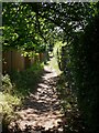
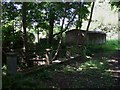
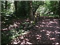
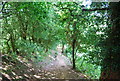
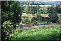
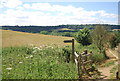
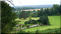
100 photos from this area
Area Information
Key information about the GU4 8LX including its size, population, and administrative classification.
- Area Type
- Postcode
- Area Size
- 2.1 hectares
- Population
- 1857
- Population Density
- 1862 people/km²
House Prices in GU4 8LX
34
Properties
£394,385
Average Sold Price
£106,000
Lowest Price
£645,000
Highest Price
Showing 34 properties
| Address | Type | Beds | Baths | Last Sale Price | Last Sale Date | |
|---|---|---|---|---|---|---|
| 128 New Road, Chilworth, GU4 8LX | Semi-detached | 2 | 2 | £390,000 | Dec 2025 | |
| 126 New Road, Chilworth, GU4 8LX | Detached | 2 | 2 | £395,000 | Oct 2025 | |
| 176 New Road, Chilworth, GU4 8LX | Detached | 4 | 2 | £620,000 | Feb 2025 | |
| 140 New Road, Chilworth, GU4 8LX | Semi-detached | 3 | 1 | £450,000 | Jan 2024 | |
| 134 New Road, Chilworth, GU4 8LX | Semi-detached | 3 | - | £470,000 | Jun 2021 | |
| 172 New Road, Chilworth, GU4 8LX | Detached | 3 | 2 | £515,000 | Jun 2021 | |
| 162 New Road, Chilworth, GU4 8LX | house | - | - | £525,000 | Feb 2021 | |
| 170 New Road, Chilworth, GU4 8LX | Detached | 2 | 1 | £520,000 | Jan 2021 | |
| 186 New Road, Chilworth, GU4 8LX | Semi-detached | 4 | 1 | £495,000 | Jan 2021 | |
| 168 New Road, Chilworth, GU4 8LX | Detached | 3 | 2 | £595,000 | Jan 2021 |
Page 1 of 4
Energy Efficiency in GU4 8LX
Amenities
Schools
| Rank | School | Type | Entry gender | Ages |
|---|
Explore more schools in this area
Go to Schools tabDemographics
Household Size
Family (3-5 people)
most common
Accommodation Type
Houses
most common
Tenure
66
majority
Ethnic Group
White
most common
Religion
N/A
most common
Household Composition
N/A
most common
Age
47
median
Adults (30-64 years)
most common
Household Deprivation
N/A
with no deprivation
NS-SEC
44
in Lower managerial occupations
Explore more demographic insights in this area
Go to Demographics tabPlanning
Planning Constraints
- Flood RiskPremium
- Ramsar Wetland SitesPremium
- Area of Outstanding Natural BeautyPremium
- Protected Nature ReservePremium
- Protected WoodlandPremium