Area Overview for GU34 5ED
Photos of GU34 5ED
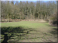
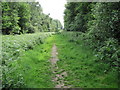
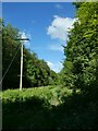
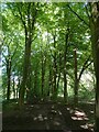
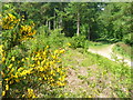
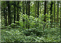
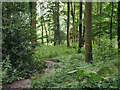
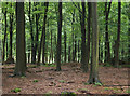
43 photos from this area
Area Information
Key information about the GU34 5ED including its size, population, and administrative classification.
- Area Type
- Postcode
- Area Size
- 34.3 hectares
- Population
- 2559
- Population Density
- 55 people/km²
House Prices in GU34 5ED
12
Properties
£662,167
Average Sold Price
£388,000
Lowest Price
£957,500
Highest Price
Showing 12 properties
| Address | Type | Beds | Baths | Last Sale Price | Last Sale Date | |
|---|---|---|---|---|---|---|
| Hunters Moon, Boyneswood Road, Medstead, Alton, GU34 5ED | house | - | - | £957,500 | Dec 2021 | |
| Woodpeckers, Boyneswood Road, Medstead, Alton, GU34 5ED | Detached | 4 | 3 | £641,000 | Jul 2015 | |
| Shanklin, Boyneswood Road, Medstead, Alton, GU34 5ED | Bungalow | - | - | £388,000 | Nov 2010 | |
| 56 Boyneswood Road, Medstead, Alton, GU34 5ED | Terraced | 3 | - | - | - | |
| 1, Chawton Park Cottages, Boyneswood Road, Medstead, Alton, GU34 5ED | house | - | - | - | - | |
| 2, Chawton Park Cottages, Boyneswood Road, Medstead, Alton, GU34 5ED | Semi-detached | - | - | - | - | |
| 60 Boyneswood Road, Medstead, Alton, GU34 5ED | Bungalow | - | - | - | - | |
| 57 Boyneswood Road, Medstead, Alton, GU34 5ED | Terraced | - | - | - | - | |
| 59 Boyneswood Road, Medstead, Alton, GU34 5ED | Bungalow | - | - | - | - | |
| 58 Boyneswood Road, Medstead, Alton, GU34 5ED | Bungalow | - | - | - | - |
Page 1 of 2
Energy Efficiency in GU34 5ED
Amenities
Schools
| Rank | School | Type | Entry gender | Ages |
|---|
Explore more schools in this area
Go to Schools tabDemographics
Household Size
Two person
most common
Accommodation Type
Houses
most common
Tenure
81
majority
Ethnic Group
White
most common
Religion
N/A
most common
Household Composition
N/A
most common
Age
47
median
Adults (30-64 years)
most common
Household Deprivation
N/A
with no deprivation
NS-SEC
49
in Lower managerial occupations
Explore more demographic insights in this area
Go to Demographics tabPlanning
Planning Constraints
- Flood RiskPremium
- Ramsar Wetland SitesPremium
- Area of Outstanding Natural BeautyPremium
- Protected Nature ReservePremium
- Protected WoodlandPremium