Area Overview for GU34 5LG
Photos of GU34 5LG
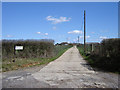
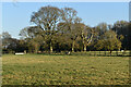

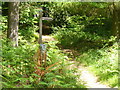
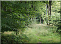
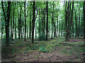
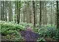
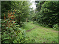
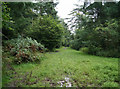
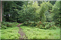
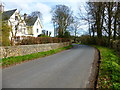
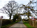
22 photos from this area
Area Information
Key information about the GU34 5LG including its size, population, and administrative classification.
- Area Type
- Postcode
- Area Size
- 92.8 hectares
- Population
- 1953
- Population Density
- 1010 people/km²
House Prices in GU34 5LG
24
Properties
£582,000
Average Sold Price
£95,000
Lowest Price
£850,000
Highest Price
Showing 24 properties
| Address | Type | Beds | Baths | Last Sale Price | Last Sale Date | |
|---|---|---|---|---|---|---|
| Prosit, Roe Downs Road, Medstead, Alton, GU34 5LG | Bungalow | 4 | 2 | £730,000 | Feb 2024 | |
| Silverwood, Roe Downs Road, Medstead, Alton, GU34 5LG | Bungalow | 7 | 4 | £590,000 | Mar 2022 | |
| Down Copse, Roe Downs Road, Medstead, Alton, GU34 5LG | house | - | - | £795,000 | Nov 2021 | |
| The Hollies, Roe Downs Road, Medstead, Alton, GU34 5LG | Bungalow | - | - | £850,000 | Jun 2021 | |
| Lainston, Roe Downs Road, Medstead, Alton, GU34 5LG | Bungalow | - | - | £600,000 | Oct 2019 | |
| Bon Vista, Roe Downs Road, Medstead, Alton, GU34 5LG | Chalet | 4 | 3 | £600,000 | Jun 2019 | |
| Primrose Meadows, Roe Downs Road, Medstead, Alton, GU34 5LG | Detached | 5 | - | £825,000 | Mar 2017 | |
| Stevenstone, Roe Downs Road, Medstead, Alton, GU34 5LG | Bungalow | - | - | £760,000 | Feb 2016 | |
| Jalna, Roe Downs Road, Medstead, Alton, GU34 5LG | Detached | - | - | £495,000 | Jun 2007 | |
| Wearside, Roe Downs Road, Medstead, Alton, GU34 5LG | Detached | 5 | 4 | £700,000 | Aug 2006 |
Page 1 of 3
Energy Efficiency in GU34 5LG
Amenities
Schools
| Rank | School | Type | Entry gender | Ages |
|---|
Explore more schools in this area
Go to Schools tabDemographics
Household Size
Two person
most common
Accommodation Type
Houses
most common
Tenure
79
majority
Ethnic Group
White
most common
Religion
N/A
most common
Household Composition
N/A
most common
Age
47
median
Adults (30-64 years)
most common
Household Deprivation
N/A
with no deprivation
NS-SEC
43
in Lower managerial occupations
Explore more demographic insights in this area
Go to Demographics tabPlanning
Planning Constraints
- Flood RiskPremium
- Ramsar Wetland SitesPremium
- Area of Outstanding Natural BeautyPremium
- Protected Nature ReservePremium
- Protected WoodlandPremium