Area Overview for GU28 0SA
Photos of GU28 0SA
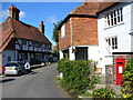
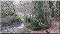
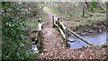
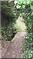
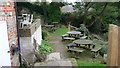
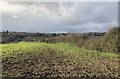
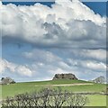
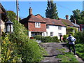
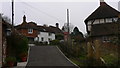
26 photos from this area
Area Information
Key information about the GU28 0SA including its size, population, and administrative classification.
- Area Type
- Postcode
- Area Size
- 1.7 hectares
- Population
- 1599
- Population Density
- 40 people/km²
House Prices in GU28 0SA
47
Properties
£303,000
Average Sold Price
£291,000
Lowest Price
£315,000
Highest Price
Showing 47 properties
| Address | Type | Beds | Baths | Last Sale Price | Last Sale Date | |
|---|---|---|---|---|---|---|
| 1 Orchard Close, Petworth, GU28 0SA | Semi-detached | 1 | 2 | £291,000 | Oct 2020 | |
| 7 Orchard Close, Petworth, GU28 0SA | Terraced | 3 | 1 | £315,000 | Jul 2019 | |
| Petworth Lawn Tennis Club, Sheepdown Drive, Petworth, GU28 0SA | Leisure | - | - | - | - | |
| Tennis 39M From Overend, Sheepdown Close 28M From Unnamed Road, Orchard Close, Petworth, GU28 0SA | Leisure | - | - | - | - | |
| Estate Managers Office, Orchard Close, Petworth, GU28 0SA | Office | - | - | - | - | |
| 11A Orchard Close, Petworth, GU28 0SA | Flat | 3 | - | - | - | |
| 36 Orchard Close, Petworth, GU28 0SA | Flat | - | - | - | - | |
| 9 Orchard Close, Petworth, GU28 0SA | house | - | - | - | - | |
| 15 Orchard Close, Petworth, GU28 0SA | Flat | - | - | - | - | |
| 26 Orchard Close, Petworth, GU28 0SA | Flat | - | - | - | - |
Page 1 of 5
Energy Efficiency in GU28 0SA
Amenities
Schools
| Rank | School | Type | Entry gender | Ages |
|---|
Explore more schools in this area
Go to Schools tabDemographics
Household Size
Two person
most common
Accommodation Type
Houses
most common
Tenure
60
majority
Ethnic Group
White
most common
Religion
N/A
most common
Household Composition
N/A
most common
Age
47
median
Adults (30-64 years)
most common
Household Deprivation
N/A
with no deprivation
NS-SEC
38
in Lower managerial occupations
Explore more demographic insights in this area
Go to Demographics tabPlanning
Planning Constraints
- Flood RiskPremium
- Ramsar Wetland SitesPremium
- Area of Outstanding Natural BeautyPremium
- Protected Nature ReservePremium
- Protected WoodlandPremium