Area Overview for GU26 6HZ
Photos of GU26 6HZ


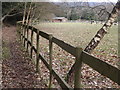
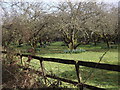
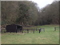
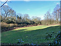
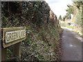
15 photos from this area
Area Information
Key information about the GU26 6HZ including its size, population, and administrative classification.
- Area Type
- Postcode
- Area Size
- 25.0 hectares
- Population
- 1288
- Population Density
- 556 people/km²
House Prices in GU26 6HZ
8
Properties
£750,281
Average Sold Price
£340,000
Lowest Price
£1,351,407
Highest Price
Showing 8 properties
| Address | Type | Beds | Baths | Last Sale Price | Last Sale Date | |
|---|---|---|---|---|---|---|
| Bunker Cottage, Churt Road, Hindhead, GU26 6HZ | Semi-detached | 2 | 2 | £585,000 | Oct 2024 | |
| St Andrews Cottage, Churt Road, Hindhead, GU26 6HZ | Detached | 5 | 2 | £1,351,407 | Aug 2022 | |
| Hatch Cottage, Churt Road, Hindhead, GU26 6HZ | Detached | 4 | - | £590,000 | Oct 2016 | |
| Redroof, Churt Road, Hindhead, GU26 6HZ | Detached | 6 | 4 | £885,000 | Jul 2014 | |
| Niblick Cottage, Churt Road, Hindhead, GU26 6HZ | Semi-detached | - | - | £340,000 | May 2007 | |
| Heartwood, Churt Road, Hindhead, GU26 6HZ | house | 4 | 3 | - | - | |
| Mayhews Cottage, Churt Road, Hindhead, GU26 6HZ | house | 4 | - | - | - | |
| Horwood Cottage, Churt Road, Hindhead, GU26 6HZ | Detached | - | - | - | - |
Energy Efficiency in GU26 6HZ
Amenities
Schools
| Rank | School | Type | Entry gender | Ages |
|---|
Explore more schools in this area
Go to Schools tabDemographics
Household Size
Family (3-5 people)
most common
Accommodation Type
Houses
most common
Tenure
85
majority
Ethnic Group
White
most common
Religion
N/A
most common
Household Composition
N/A
most common
Age
47
median
Adults (30-64 years)
most common
Household Deprivation
N/A
with no deprivation
NS-SEC
52
in Lower managerial occupations
Explore more demographic insights in this area
Go to Demographics tabPlanning
Planning Constraints
- Flood RiskPremium
- Ramsar Wetland SitesPremium
- Area of Outstanding Natural BeautyPremium
- Protected Nature ReservePremium
- Protected WoodlandPremium