Area Overview for GU22 9FW
Photos of GU22 9FW
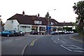
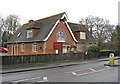
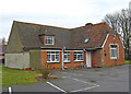
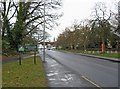
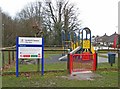
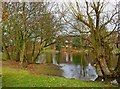
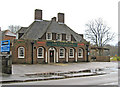
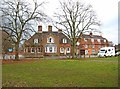
39 photos from this area
Area Information
Key information about the GU22 9FW including its size, population, and administrative classification.
- Area Type
- Postcode
- Area Size
- 1.4 hectares
- Population
- 1846
- Population Density
- 2411 people/km²
House Prices in GU22 9FW
28
Properties
£467,071
Average Sold Price
£345,995
Lowest Price
£675,000
Highest Price
Showing 28 properties
| Address | Type | Beds | Baths | Last Sale Price | Last Sale Date | |
|---|---|---|---|---|---|---|
| 1 Bullock Crescent, Woking, GU22 9FW | Detached | 4 | 2 | £675,000 | Oct 2025 | |
| 2 Bullock Crescent, Woking, GU22 9FW | Detached | 3 | 2 | £510,000 | Jul 2025 | |
| 13 Bullock Crescent, Woking, GU22 9FW | Detached | 4 | 2 | £572,000 | Nov 2023 | |
| 33 Bullock Crescent, Woking, GU22 9FW | Semi-detached | 2 | 2 | £400,000 | Apr 2023 | |
| 35 Bullock Crescent, Woking, GU22 9FW | Retail | 2 | 2 | £400,000 | Oct 2022 | |
| 25 Bullock Crescent, Woking, GU22 9FW | Detached | 2 | 2 | £435,000 | Oct 2022 | |
| 7 Bullock Crescent, Woking, GU22 9FW | Retail | 4 | 2 | £550,000 | Jul 2022 | |
| 12 Bullock Crescent, Woking, GU22 9FW | house | - | - | £482,995 | May 2018 | |
| 21 Bullock Crescent, Woking, GU22 9FW | Semi-detached | 6 | 2 | £487,995 | Apr 2018 | |
| Little Keswick, 16 Bullock Crescent, Woking, GU22 9FW | house | 4 | 3 | £426,995 | Apr 2018 |
Page 1 of 3
Energy Efficiency in GU22 9FW
Amenities
Schools
| Rank | School | Type | Entry gender | Ages |
|---|
Explore more schools in this area
Go to Schools tabDemographics
Household Size
Family (3-5 people)
most common
Accommodation Type
Houses
most common
Tenure
39
majority
Ethnic Group
White
most common
Religion
N/A
most common
Household Composition
N/A
most common
Age
22
median
Adults (30-64 years)
most common
Household Deprivation
N/A
with no deprivation
NS-SEC
33
in Lower managerial occupations
Explore more demographic insights in this area
Go to Demographics tabPlanning
Planning Constraints
- Flood RiskPremium
- Ramsar Wetland SitesPremium
- Area of Outstanding Natural BeautyPremium
- Protected Nature ReservePremium
- Protected WoodlandPremium