Area Overview for GU22 9FT
Photos of GU22 9FT
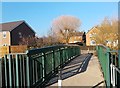
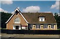
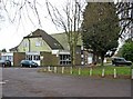
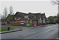
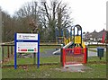
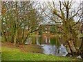
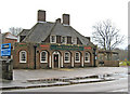
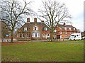
39 photos from this area
Area Information
Key information about the GU22 9FT including its size, population, and administrative classification.
- Area Type
- Postcode
- Area Size
- 5.3 hectares
- Population
- 1846
- Population Density
- 2411 people/km²
House Prices in GU22 9FT
74
Properties
£430,703
Average Sold Price
£350,000
Lowest Price
£534,995
Highest Price
Showing 74 properties
| Address | Type | Beds | Baths | Last Sale Price | Last Sale Date | |
|---|---|---|---|---|---|---|
| 37 Jelley Way, Woking, GU22 9FT | Flat | 3 | 2 | £355,000 | Sep 2025 | |
| 43 Jelley Way, Woking, GU22 9FT | Flat | - | - | £380,000 | Oct 2024 | |
| 41 Jelley Way, Woking, GU22 9FT | Flat | 3 | 2 | £372,000 | Apr 2022 | |
| 45 Jelley Way, Woking, GU22 9FT | Flat | - | - | £350,000 | Nov 2021 | |
| 49 Jelley Way, Woking, GU22 9FT | Flat | - | - | £365,000 | Dec 2020 | |
| 47 Jelley Way, Woking, GU22 9FT | Flat | 3 | 2 | £352,000 | Oct 2019 | |
| 26 Jelley Way, Woking, GU22 9FT | Detached | 4 | 3 | £520,000 | Aug 2018 | |
| 24 Jelley Way, Woking, GU22 9FT | house | - | - | £534,995 | Nov 2017 | |
| 39 Jelley Way, Woking, GU22 9FT | Flat | - | - | £359,995 | Jun 2017 | |
| 51 Jelley Way, Woking, GU22 9FT | Flat | - | - | £365,000 | Jun 2017 |
Page 1 of 8
Energy Efficiency in GU22 9FT
Amenities
Schools
| Rank | School | Type | Entry gender | Ages |
|---|
Explore more schools in this area
Go to Schools tabDemographics
Household Size
Family (3-5 people)
most common
Accommodation Type
Houses
most common
Tenure
39
majority
Ethnic Group
White
most common
Religion
N/A
most common
Household Composition
N/A
most common
Age
22
median
Adults (30-64 years)
most common
Household Deprivation
N/A
with no deprivation
NS-SEC
33
in Lower managerial occupations
Explore more demographic insights in this area
Go to Demographics tabPlanning
Planning Constraints
- Flood RiskPremium
- Ramsar Wetland SitesPremium
- Area of Outstanding Natural BeautyPremium
- Protected Nature ReservePremium
- Protected WoodlandPremium