Area Overview for GU21 4LZ
Photos of GU21 4LZ
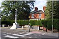
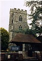
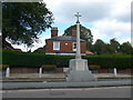
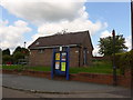
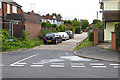
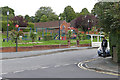


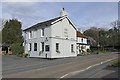
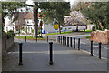
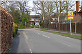
44 photos from this area
Area Information
Key information about the GU21 4LZ including its size, population, and administrative classification.
- Area Type
- Postcode
- Area Size
- 2.7 hectares
- Population
- 1488
- Population Density
- 4098 people/km²
House Prices in GU21 4LZ
43
Properties
£587,846
Average Sold Price
£113,590
Lowest Price
£1,120,000
Highest Price
Showing 43 properties
| Address | Type | Beds | Baths | Last Sale Price | Last Sale Date | |
|---|---|---|---|---|---|---|
| 11 Horsell Park Close, Horsell, Woking, GU21 4LZ | Semi-detached | 5 | 3 | £1,055,000 | Feb 2025 | |
| 29 Horsell Park Close, Horsell, Woking, GU21 4LZ | Detached | 5 | 2 | £1,120,000 | Aug 2024 | |
| 9 Horsell Park Close, Horsell, Woking, GU21 4LZ | Semi-detached | 4 | 2 | £1,075,011 | Oct 2021 | |
| 1 Horsell Park Close, Horsell, Woking, GU21 4LZ | house | 5 | 2 | £800,000 | Oct 2020 | |
| Hensby Cottage, 24 Horsell Park Close, Horsell, Woking, GU21 4LZ | Semi-detached | 4 | 2 | £705,000 | Sep 2019 | |
| 32 Horsell Park Close, Horsell, Woking, GU21 4LZ | Semi-detached | 3 | 1 | £585,000 | Jul 2019 | |
| 38 Horsell Park Close, Horsell, Woking, GU21 4LZ | Detached | 5 | 1 | £804,700 | May 2019 | |
| 37 Horsell Park Close, Horsell, Woking, GU21 4LZ | Semi-detached | 5 | 2 | £715,000 | Aug 2018 | |
| 26 Horsell Park Close, Horsell, Woking, GU21 4LZ | Detached | 5 | 3 | £900,000 | Feb 2018 | |
| 28 Horsell Park Close, Horsell, Woking, GU21 4LZ | Detached | 3 | 1 | £735,000 | Feb 2018 |
Page 1 of 5
Energy Efficiency in GU21 4LZ
Amenities
Schools
| Rank | School | Type | Entry gender | Ages |
|---|
Explore more schools in this area
Go to Schools tabDemographics
Household Size
Family (3-5 people)
most common
Accommodation Type
Houses
most common
Tenure
86
majority
Ethnic Group
White
most common
Religion
N/A
most common
Household Composition
N/A
most common
Age
47
median
Adults (30-64 years)
most common
Household Deprivation
N/A
with no deprivation
NS-SEC
59
in Lower managerial occupations
Explore more demographic insights in this area
Go to Demographics tabPlanning
Planning Constraints
- Flood RiskPremium
- Ramsar Wetland SitesPremium
- Area of Outstanding Natural BeautyPremium
- Protected Nature ReservePremium
- Protected WoodlandPremium