Area Overview for GU21 2SB
Photos of GU21 2SB
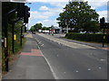
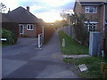
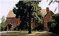
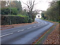
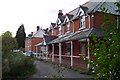
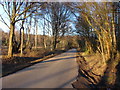
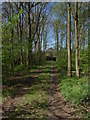
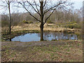
40 photos from this area
Area Information
Key information about the GU21 2SB including its size, population, and administrative classification.
- Area Type
- Postcode
- Area Size
- 1.0 hectares
- Population
- 2296
- Population Density
- 4643 people/km²
House Prices in GU21 2SB
15
Properties
£321,309
Average Sold Price
£125,950
Lowest Price
£550,000
Highest Price
Showing 15 properties
| Address | Type | Beds | Baths | Last Sale Price | Last Sale Date | |
|---|---|---|---|---|---|---|
| 99 Oak Tree Road, Knaphill, Woking, GU21 2SB | Bungalow | 3 | 2 | £550,000 | Nov 2021 | |
| 109 Oak Tree Road, Knaphill, Woking, GU21 2SB | Detached | 4 | - | £499,950 | Jul 2014 | |
| 105 Oak Tree Road, Knaphill, Woking, GU21 2SB | Semi-detached | 3 | - | £414,000 | Dec 2013 | |
| 28 Oak Tree Road, Knaphill, Woking, GU21 2SB | house | 3 | - | £305,000 | Aug 2012 | |
| 103 Oak Tree Road, Knaphill, Woking, GU21 2SB | Bungalow | 3 | 1 | £327,500 | Feb 2012 | |
| 22 Oak Tree Road, Knaphill, Woking, GU21 2SB | house | 3 | 1 | £475,000 | May 2010 | |
| 101 Oak Tree Road, Knaphill, Woking, GU21 2SB | house | - | - | £290,000 | Jun 2009 | |
| 30 Oak Tree Road, Knaphill, Woking, GU21 2SB | Semi-detached | 3 | - | £265,000 | Aug 2008 | |
| 26 Oak Tree Road, Knaphill, Woking, GU21 2SB | Semi-detached | - | - | £149,500 | Apr 1998 | |
| 20 Oak Tree Road, Knaphill, Woking, GU21 2SB | house | - | - | £125,950 | Mar 1997 |
Page 1 of 2
Energy Efficiency in GU21 2SB
Amenities
Schools
| Rank | School | Type | Entry gender | Ages |
|---|
Explore more schools in this area
Go to Schools tabDemographics
Household Size
Family (3-5 people)
most common
Accommodation Type
Houses
most common
Tenure
79
majority
Ethnic Group
White
most common
Religion
N/A
most common
Household Composition
N/A
most common
Age
47
median
Adults (30-64 years)
most common
Household Deprivation
N/A
with no deprivation
NS-SEC
54
in Lower managerial occupations
Explore more demographic insights in this area
Go to Demographics tabPlanning
Planning Constraints
- Flood RiskPremium
- Ramsar Wetland SitesPremium
- Area of Outstanding Natural BeautyPremium
- Protected Nature ReservePremium
- Protected WoodlandPremium