Area Overview for GU21 2HR
Photos of GU21 2HR
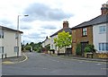

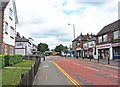
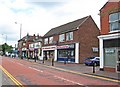
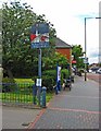
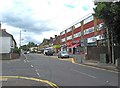

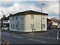
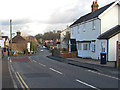
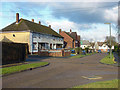
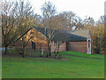
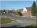
65 photos from this area
Area Information
Key information about the GU21 2HR including its size, population, and administrative classification.
- Area Type
- Postcode
- Area Size
- 1.2 hectares
- Population
- 1502
- Population Density
- 6298 people/km²
House Prices in GU21 2HR
30
Properties
£268,702
Average Sold Price
£60,000
Lowest Price
£470,000
Highest Price
Showing 30 properties
| Address | Type | Beds | Baths | Last Sale Price | Last Sale Date | |
|---|---|---|---|---|---|---|
| 27 Hillside Close, Knaphill, Woking, GU21 2HR | Bungalow | 2 | 1 | £412,500 | Sep 2025 | |
| 22 Hillside Close, Knaphill, Woking, GU21 2HR | Terraced | 3 | 1 | £463,750 | Apr 2025 | |
| 24 Hillside Close, Knaphill, Woking, GU21 2HR | Semi-detached | 3 | 1 | £470,000 | Nov 2024 | |
| 19 Hillside Close, Knaphill, Woking, GU21 2HR | Terraced | 3 | 1 | £400,000 | Feb 2024 | |
| 4 Hillside Close, Knaphill, Woking, GU21 2HR | Semi-detached | 3 | 1 | £440,000 | Sep 2022 | |
| 5A Hillside Close, Knaphill, Woking, GU21 2HR | Maisonette | 2 | 1 | £230,000 | May 2021 | |
| 26 Hillside Close, Knaphill, Woking, GU21 2HR | Semi-detached | 5 | 2 | £445,000 | Nov 2020 | |
| 21 Hillside Close, Knaphill, Woking, GU21 2HR | Terraced | 3 | 1 | £380,000 | Aug 2019 | |
| 21A Hillside Close, Knaphill, Woking, GU21 2HR | Terraced | 3 | 2 | £400,000 | May 2019 | |
| 5 Hillside Close, Knaphill, Woking, GU21 2HR | Maisonette | 1 | 1 | £238,000 | Oct 2018 |
Page 1 of 3
Energy Efficiency in GU21 2HR
Amenities
Schools
| Rank | School | Type | Entry gender | Ages |
|---|
Explore more schools in this area
Go to Schools tabDemographics
Household Size
Family (3-5 people)
most common
Accommodation Type
Houses
most common
Tenure
77
majority
Ethnic Group
White
most common
Religion
N/A
most common
Household Composition
N/A
most common
Age
47
median
Adults (30-64 years)
most common
Household Deprivation
N/A
with no deprivation
NS-SEC
41
in Lower managerial occupations
Explore more demographic insights in this area
Go to Demographics tabPlanning
Planning Constraints
- Flood RiskPremium
- Ramsar Wetland SitesPremium
- Area of Outstanding Natural BeautyPremium
- Protected Nature ReservePremium
- Protected WoodlandPremium