Area Overview for GU20 6NG
Photos of GU20 6NG
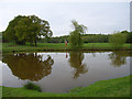
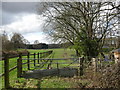
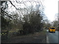
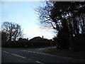
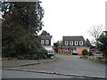

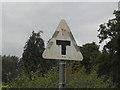
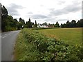
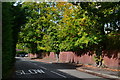
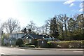
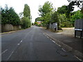
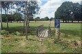
29 photos from this area
Area Information
Key information about the GU20 6NG including its size, population, and administrative classification.
- Area Type
- Postcode
- Area Size
- 2.5 hectares
- Population
- 1301
- Population Density
- 533 people/km²
House Prices in GU20 6NG
45
Properties
£403,968
Average Sold Price
£118,000
Lowest Price
£760,000
Highest Price
Showing 45 properties
| Address | Type | Beds | Baths | Last Sale Price | Last Sale Date | |
|---|---|---|---|---|---|---|
| 20 Turpins Rise, Windlesham, GU20 6NG | Detached | 4 | 2 | £760,000 | May 2024 | |
| 21 Turpins Rise, Windlesham, GU20 6NG | Detached | 4 | 2 | £725,000 | Feb 2024 | |
| 28 Turpins Rise, Windlesham, GU20 6NG | Detached | 4 | 1 | £700,000 | Dec 2023 | |
| 14 Turpins Rise, Windlesham, GU20 6NG | Detached | 5 | 2 | £760,000 | Sep 2023 | |
| 22 Turpins Rise, Windlesham, GU20 6NG | Retail | 3 | 1 | £670,000 | Oct 2022 | |
| 19 Turpins Rise, Windlesham, GU20 6NG | house | 3 | 1 | £485,000 | Jul 2021 | |
| 39 Turpins Rise, Windlesham, GU20 6NG | Detached | 4 | 2 | £550,000 | Feb 2021 | |
| 25 Turpins Rise, Windlesham, GU20 6NG | Detached | 4 | - | £600,000 | May 2018 | |
| 1 Turpins Rise, Windlesham, GU20 6NG | house | - | - | £735,000 | Aug 2016 | |
| 41 Turpins Rise, Windlesham, GU20 6NG | Detached | 4 | 2 | £548,000 | Mar 2016 |
Page 1 of 5
Energy Efficiency in GU20 6NG
Amenities
Schools
| Rank | School | Type | Entry gender | Ages |
|---|
Explore more schools in this area
Go to Schools tabDemographics
Household Size
Two person
most common
Accommodation Type
Houses
most common
Tenure
89
majority
Ethnic Group
White
most common
Religion
N/A
most common
Household Composition
N/A
most common
Age
47
median
Adults (30-64 years)
most common
Household Deprivation
N/A
with no deprivation
NS-SEC
58
in Lower managerial occupations
Explore more demographic insights in this area
Go to Demographics tabPlanning
Planning Constraints
- Flood RiskPremium
- Ramsar Wetland SitesPremium
- Area of Outstanding Natural BeautyPremium
- Protected Nature ReservePremium
- Protected WoodlandPremium