Area Overview for GU20 6NE
Photos of GU20 6NE
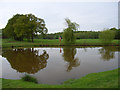
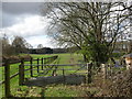
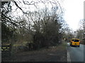
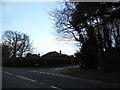
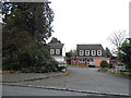

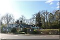
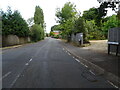
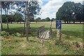
29 photos from this area
Area Information
Key information about the GU20 6NE including its size, population, and administrative classification.
- Area Type
- Postcode
- Area Size
- 2.0 hectares
- Population
- 1301
- Population Density
- 533 people/km²
House Prices in GU20 6NE
40
Properties
£493,578
Average Sold Price
£125,000
Lowest Price
£1,010,000
Highest Price
Showing 40 properties
| Address | Type | Beds | Baths | Last Sale Price | Last Sale Date | |
|---|---|---|---|---|---|---|
| 34 Newark Road, Windlesham, GU20 6NE | Terraced | 3 | 1 | £457,500 | Jul 2025 | |
| 9 Newark Road, Windlesham, GU20 6NE | Detached | 4 | 3 | £960,000 | Jul 2025 | |
| 14 Newark Road, Windlesham, GU20 6NE | Detached | 4 | 1 | £631,250 | Mar 2025 | |
| 8 Newark Road, Windlesham, GU20 6NE | Detached | 4 | 3 | £1,010,000 | Dec 2024 | |
| 20 Newark Road, Windlesham, GU20 6NE | Terraced | 3 | 1 | £480,000 | Dec 2024 | |
| 28 Newark Road, Windlesham, GU20 6NE | Terraced | 3 | 1 | £440,000 | Mar 2024 | |
| 30 Newark Road, Windlesham, GU20 6NE | Terraced | 3 | 1 | £410,000 | Aug 2022 | |
| 16 Newark Road, Windlesham, GU20 6NE | Detached | 5 | 3 | £675,000 | Jun 2021 | |
| Fairlea, 13 Newark Road, Windlesham, GU20 6NE | Detached | 4 | 2 | £725,000 | Mar 2021 | |
| 25 Newark Road, Windlesham, GU20 6NE | house | - | - | £600,000 | Dec 2020 |
Page 1 of 4
Energy Efficiency in GU20 6NE
Amenities
Schools
| Rank | School | Type | Entry gender | Ages |
|---|
Explore more schools in this area
Go to Schools tabDemographics
Household Size
Two person
most common
Accommodation Type
Houses
most common
Tenure
89
majority
Ethnic Group
White
most common
Religion
N/A
most common
Household Composition
N/A
most common
Age
47
median
Adults (30-64 years)
most common
Household Deprivation
N/A
with no deprivation
NS-SEC
58
in Lower managerial occupations
Explore more demographic insights in this area
Go to Demographics tabPlanning
Planning Constraints
- Flood RiskPremium
- Ramsar Wetland SitesPremium
- Area of Outstanding Natural BeautyPremium
- Protected Nature ReservePremium
- Protected WoodlandPremium