Area Overview for GU14 8UB
Photos of GU14 8UB
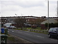
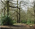
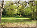
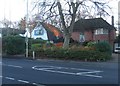
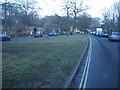
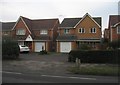
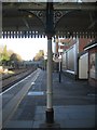
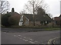
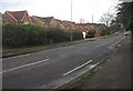
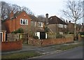
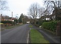
100 photos from this area
Area Information
Key information about the GU14 8UB including its size, population, and administrative classification.
- Area Type
- Postcode
- Area Size
- 9199 m²
- Population
- 1743
- Population Density
- 7747 people/km²
House Prices in GU14 8UB
17
Properties
£157,247
Average Sold Price
£42,750
Lowest Price
£247,500
Highest Price
Showing 17 properties
| Address | Type | Beds | Baths | Last Sale Price | Last Sale Date | |
|---|---|---|---|---|---|---|
| 203 Mayfield Road, Farnborough, GU14 8UB | Bungalow | 3 | 1 | £170,000 | Sep 2025 | |
| 221 Mayfield Road, Farnborough, GU14 8UB | Bungalow | 1 | 1 | £240,000 | Jun 2025 | |
| 231 Mayfield Road, Farnborough, GU14 8UB | Bungalow | 1 | 1 | £209,500 | Mar 2024 | |
| 233 Mayfield Road, Farnborough, GU14 8UB | Bungalow | - | - | £247,500 | Jun 2021 | |
| 209 Mayfield Road, Farnborough, GU14 8UB | Bungalow | 1 | 1 | £206,000 | Mar 2021 | |
| 215 Mayfield Road, Farnborough, GU14 8UB | Bungalow | 2 | 1 | £240,000 | Jun 2020 | |
| 227 Mayfield Road, Farnborough, GU14 8UB | Bungalow | 1 | 1 | £190,000 | Mar 2016 | |
| 217 Mayfield Road, Farnborough, GU14 8UB | Bungalow | 2 | - | £170,000 | Nov 2015 | |
| 225 Mayfield Road, Farnborough, GU14 8UB | Bungalow | 1 | - | £140,000 | Sep 2014 | |
| 213 Mayfield Road, Farnborough, GU14 8UB | Bungalow | 1 | - | £130,000 | Sep 2013 |
Page 1 of 2
Energy Efficiency in GU14 8UB
Amenities
Schools
| Rank | School | Type | Entry gender | Ages |
|---|
Explore more schools in this area
Go to Schools tabDemographics
Household Size
Family (3-5 people)
most common
Accommodation Type
Houses
most common
Tenure
52
majority
Ethnic Group
White
most common
Religion
N/A
most common
Household Composition
N/A
most common
Age
47
median
Adults (30-64 years)
most common
Household Deprivation
N/A
with no deprivation
NS-SEC
20
in Lower managerial occupations
Explore more demographic insights in this area
Go to Demographics tabPlanning
Planning Constraints
- Flood RiskPremium
- Ramsar Wetland SitesPremium
- Area of Outstanding Natural BeautyPremium
- Protected Nature ReservePremium
- Protected WoodlandPremium