Area Overview for GU14 6NY
Photos of GU14 6NY
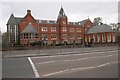
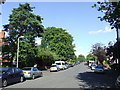
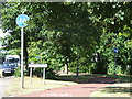
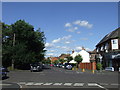
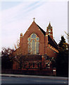
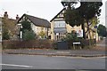
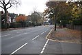
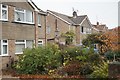
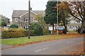
100 photos from this area
Area Information
Key information about the GU14 6NY including its size, population, and administrative classification.
- Area Type
- Postcode
- Area Size
- 1.2 hectares
- Population
- 1454
- Population Density
- 4389 people/km²
House Prices in GU14 6NY
26
Properties
£378,006
Average Sold Price
£98,500
Lowest Price
£585,000
Highest Price
Showing 26 properties
| Address | Type | Beds | Baths | Last Sale Price | Last Sale Date | |
|---|---|---|---|---|---|---|
| 144 Reading Road, Farnborough, GU14 6NY | Detached | 3 | 1 | £530,000 | Oct 2025 | |
| 122 Reading Road, Farnborough, GU14 6NY | Detached | 4 | 2 | £585,000 | May 2024 | |
| 138 Reading Road, Farnborough, GU14 6NY | house | - | - | £480,000 | Dec 2021 | |
| 150 Reading Road, Farnborough, GU14 6NY | Detached | 4 | 3 | £560,000 | Jun 2021 | |
| 130 Reading Road, Farnborough, GU14 6NY | Detached | 3 | 1 | £397,600 | Dec 2020 | |
| 152 Reading Road, Farnborough, GU14 6NY | Bungalow | 2 | 1 | £285,000 | Oct 2017 | |
| 126 Reading Road, Farnborough, GU14 6NY | Detached | - | - | £445,000 | Sep 2016 | |
| 128 Reading Road, Farnborough, GU14 6NY | house | - | - | £395,000 | Aug 2015 | |
| 142 Reading Road, Farnborough, GU14 6NY | Detached | 4 | - | £470,000 | Jul 2015 | |
| 114 Reading Road, Farnborough, GU14 6NY | Detached | 3 | - | £340,000 | Aug 2013 |
Page 1 of 3
Energy Efficiency in GU14 6NY
Amenities
Schools
| Rank | School | Type | Entry gender | Ages |
|---|
Explore more schools in this area
Go to Schools tabDemographics
Household Size
Family (3-5 people)
most common
Accommodation Type
Houses
most common
Tenure
78
majority
Ethnic Group
White
most common
Religion
N/A
most common
Household Composition
N/A
most common
Age
47
median
Adults (30-64 years)
most common
Household Deprivation
N/A
with no deprivation
NS-SEC
45
in Lower managerial occupations
Explore more demographic insights in this area
Go to Demographics tabPlanning
Planning Constraints
- Flood RiskPremium
- Ramsar Wetland SitesPremium
- Area of Outstanding Natural BeautyPremium
- Protected Nature ReservePremium
- Protected WoodlandPremium