Area Overview for GU12 4SA
Photos of GU12 4SA
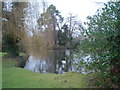
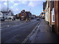
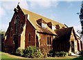
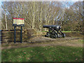
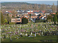
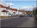
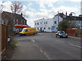
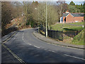
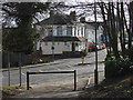
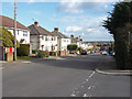
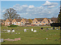
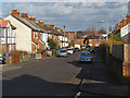
58 photos from this area
Area Information
Key information about the GU12 4SA including its size, population, and administrative classification.
- Area Type
- Postcode
- Area Size
- 6974 m²
- Population
- 2494
- Population Density
- 4422 people/km²
House Prices in GU12 4SA
26
Properties
£243,615
Average Sold Price
£160,000
Lowest Price
£540,000
Highest Price
Showing 26 properties
| Address | Type | Beds | Baths | Last Sale Price | Last Sale Date | |
|---|---|---|---|---|---|---|
| 111 Belle Vue Road, Aldershot, GU12 4SA | Terraced | 2 | 1 | £322,500 | Feb 2025 | |
| 115 Belle Vue Road, Aldershot, GU12 4SA | Detached | 4 | 2 | £540,000 | Nov 2023 | |
| 97 Belle Vue Road, Aldershot, GU12 4SA | Terraced | 2 | 1 | £277,500 | Aug 2023 | |
| 98 Belle Vue Road, Aldershot, GU12 4SA | house | - | - | £321,000 | Nov 2022 | |
| 99 Belle Vue Road, Aldershot, GU12 4SA | Terraced | 2 | 1 | £230,000 | May 2021 | |
| 102 Belle Vue Road, Aldershot, GU12 4SA | Terraced | 3 | 2 | £285,000 | Sep 2018 | |
| 109 Belle Vue Road, Aldershot, GU12 4SA | Terraced | 2 | - | £261,000 | Feb 2018 | |
| 108 Belle Vue Road, Aldershot, GU12 4SA | Terraced | 2 | 1 | £270,000 | Jan 2017 | |
| 100 Belle Vue Road, Aldershot, GU12 4SA | Terraced | 3 | 1 | £199,000 | Jul 2013 | |
| 95 Belle Vue Road, Aldershot, GU12 4SA | Terraced | 2 | 1 | £173,500 | Apr 2012 |
Page 1 of 3
Energy Efficiency in GU12 4SA
Amenities
Schools
| Rank | School | Type | Entry gender | Ages |
|---|
Explore more schools in this area
Go to Schools tabDemographics
Household Size
Family (3-5 people)
most common
Accommodation Type
Houses
most common
Tenure
51
majority
Ethnic Group
White
most common
Religion
N/A
most common
Household Composition
N/A
most common
Age
47
median
Adults (30-64 years)
most common
Household Deprivation
N/A
with no deprivation
NS-SEC
28
in Lower managerial occupations
Explore more demographic insights in this area
Go to Demographics tabPlanning
Planning Constraints
- Flood RiskPremium
- Ramsar Wetland SitesPremium
- Area of Outstanding Natural BeautyPremium
- Protected Nature ReservePremium
- Protected WoodlandPremium