Area Overview for GU11 1NF
Photos of GU11 1NF
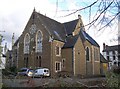
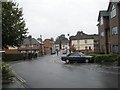
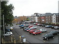
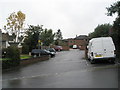
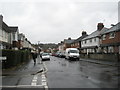
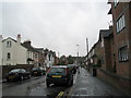
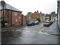
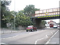
100 photos from this area
Area Information
Key information about the GU11 1NF including its size, population, and administrative classification.
- Area Type
- Postcode
- Area Size
- 1972 m²
- Population
- 1910
- Population Density
- 13741 people/km²
House Prices in GU11 1NF
16
Properties
£193,278
Average Sold Price
£86,000
Lowest Price
£350,000
Highest Price
Showing 16 properties
| Address | Type | Beds | Baths | Last Sale Price | Last Sale Date | |
|---|---|---|---|---|---|---|
| 1B Lysons Road, Aldershot, GU11 1NF | Semi-detached | 2 | 2 | £350,000 | Jun 2025 | |
| 46 Lysons Road, Aldershot, GU11 1NF | Terraced | 4 | 2 | £342,000 | Feb 2024 | |
| 40 Lysons Road, Aldershot, GU11 1NF | Terraced | 4 | 1 | £293,940 | Jun 2023 | |
| 1A Lysons Road, Aldershot, GU11 1NF | Semi-detached | 2 | 1 | £315,000 | Apr 2020 | |
| 7 Lysons Road, Aldershot, GU11 1NF | Terraced | 3 | - | £240,000 | Nov 2015 | |
| 5 Lysons Road, Aldershot, GU11 1NF | Terraced | 2 | 1 | £176,500 | Nov 2013 | |
| 48 Lysons Road, Aldershot, GU11 1NF | house | - | - | £216,000 | Jan 2008 | |
| 42 Lysons Road, Aldershot, GU11 1NF | Terraced | - | - | £147,500 | Nov 2004 | |
| 38A Lysons Road, Aldershot, GU11 1NF | Flat | - | - | £110,000 | May 2004 | |
| 38 Lysons Road, Aldershot, GU11 1NF | Maisonette | - | - | £123,000 | May 2004 |
Page 1 of 2
Energy Efficiency in GU11 1NF
Amenities
Schools
| Rank | School | Type | Entry gender | Ages |
|---|
Explore more schools in this area
Go to Schools tabDemographics
Household Size
Family (3-5 people)
most common
Accommodation Type
Flats
most common
Tenure
38
majority
Ethnic Group
White
most common
Religion
N/A
most common
Household Composition
N/A
most common
Age
47
median
Adults (30-64 years)
most common
Household Deprivation
N/A
with no deprivation
NS-SEC
18
in Lower managerial occupations
Explore more demographic insights in this area
Go to Demographics tabPlanning
Planning Constraints
- Flood RiskPremium
- Ramsar Wetland SitesPremium
- Area of Outstanding Natural BeautyPremium
- Protected Nature ReservePremium
- Protected WoodlandPremium