Area Overview for GU10 4RQ
Photos of GU10 4RQ
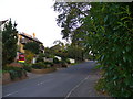
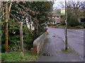
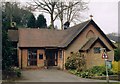
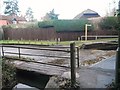
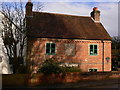
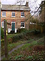

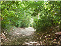
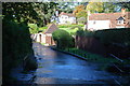
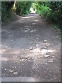
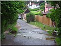
11 photos from this area
Area Information
Key information about the GU10 4RQ including its size, population, and administrative classification.
- Area Type
- Postcode
- Area Size
- 1.5 hectares
- Population
- 1623
- Population Density
- 2257 people/km²
House Prices in GU10 4RQ
17
Properties
£781,000
Average Sold Price
£366,500
Lowest Price
£1,500,000
Highest Price
Showing 17 properties
| Address | Type | Beds | Baths | Last Sale Price | Last Sale Date | |
|---|---|---|---|---|---|---|
| 18 Upper Bourne Lane, Wrecclesham, Farnham, GU10 4RQ | Bungalow | 4 | 2 | £1,500,000 | Oct 2023 | |
| 20 Upper Bourne Lane, Wrecclesham, Farnham, GU10 4RQ | Bungalow | 4 | 2 | £875,000 | Apr 2023 | |
| Lingwood, 2A Upper Bourne Lane, Wrecclesham, Farnham, GU10 4RQ | Detached | 3 | 2 | £750,000 | May 2021 | |
| 1 Upper Bourne Lane, Wrecclesham, Farnham, GU10 4RQ | Detached | 5 | 3 | £1,055,000 | Apr 2021 | |
| 6 Upper Bourne Lane, Wrecclesham, Farnham, GU10 4RQ | house | 3 | - | £677,000 | Nov 2019 | |
| 8 Upper Bourne Lane, Wrecclesham, Farnham, GU10 4RQ | Semi-detached | 4 | 1 | £675,000 | Apr 2019 | |
| Thornhill Cottage, 4 Upper Bourne Lane, Wrecclesham, Farnham, GU10 4RQ | Detached | 5 | 3 | £1,130,000 | Aug 2017 | |
| 10 Upper Bourne Lane, Wrecclesham, Farnham, GU10 4RQ | house | - | - | £607,500 | Feb 2017 | |
| 3 Upper Bourne Lane, Wrecclesham, Farnham, GU10 4RQ | Detached | - | - | £490,000 | Apr 2009 | |
| Stoneywood, 14 Upper Bourne Lane, Wrecclesham, Farnham, GU10 4RQ | Semi-detached | - | - | £366,500 | Mar 2007 |
Page 1 of 2
Energy Efficiency in GU10 4RQ
Amenities
Schools
| Rank | School | Type | Entry gender | Ages |
|---|
Explore more schools in this area
Go to Schools tabDemographics
Household Size
Family (3-5 people)
most common
Accommodation Type
Houses
most common
Tenure
89
majority
Ethnic Group
White
most common
Religion
N/A
most common
Household Composition
N/A
most common
Age
47
median
Adults (30-64 years)
most common
Household Deprivation
N/A
with no deprivation
NS-SEC
55
in Lower managerial occupations
Explore more demographic insights in this area
Go to Demographics tabPlanning
Planning Constraints
- Flood RiskPremium
- Ramsar Wetland SitesPremium
- Area of Outstanding Natural BeautyPremium
- Protected Nature ReservePremium
- Protected WoodlandPremium