Area Overview for GU10 4RJ
Photos of GU10 4RJ
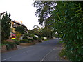
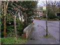
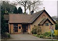
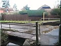

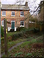


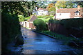
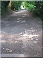
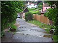
11 photos from this area
Area Information
Key information about the GU10 4RJ including its size, population, and administrative classification.
- Area Type
- Postcode
- Area Size
- 1.4 hectares
- Population
- 1623
- Population Density
- 2257 people/km²
House Prices in GU10 4RJ
19
Properties
£459,222
Average Sold Price
£114,000
Lowest Price
£846,000
Highest Price
Showing 19 properties
| Address | Type | Beds | Baths | Last Sale Price | Last Sale Date | |
|---|---|---|---|---|---|---|
| Timothys Place, Sandrock Hill Road, Wrecclesham, Farnham, GU10 4RJ | house | - | - | £435,000 | Dec 2024 | |
| 38 Sandrock Hill Road, Wrecclesham, Farnham, GU10 4RJ | house | - | - | £630,000 | Mar 2021 | |
| 36 Sandrock Hill Road, Wrecclesham, Farnham, GU10 4RJ | house | - | - | £609,112 | Oct 2019 | |
| Timothys Cottage, Sandrock Hill Road, Wrecclesham, Farnham, GU10 4RJ | house | - | - | £270,000 | Mar 2017 | |
| 45 Sandrock Hill Road, Wrecclesham, Farnham, GU10 4RJ | house | - | - | £820,000 | Aug 2016 | |
| 51 Sandrock Hill Road, Wrecclesham, Farnham, GU10 4RJ | Semi-detached | 4 | 3 | £475,000 | Mar 2016 | |
| 44 Sandrock Hill Road, Wrecclesham, Farnham, GU10 4RJ | Detached | 4 | - | £846,000 | Sep 2014 | |
| 42 Sandrock Hill Road, Wrecclesham, Farnham, GU10 4RJ | Detached | 4 | 1 | £475,000 | May 2014 | |
| 61 Sandrock Hill Road, Wrecclesham, Farnham, GU10 4RJ | house | - | - | £300,000 | Dec 2012 | |
| 57 Sandrock Hill Road, Wrecclesham, Farnham, GU10 4RJ | house | 3 | - | £360,000 | Jul 2011 |
Page 1 of 2
Energy Efficiency in GU10 4RJ
Amenities
Schools
| Rank | School | Type | Entry gender | Ages |
|---|
Explore more schools in this area
Go to Schools tabDemographics
Household Size
Family (3-5 people)
most common
Accommodation Type
Houses
most common
Tenure
89
majority
Ethnic Group
White
most common
Religion
N/A
most common
Household Composition
N/A
most common
Age
47
median
Adults (30-64 years)
most common
Household Deprivation
N/A
with no deprivation
NS-SEC
55
in Lower managerial occupations
Explore more demographic insights in this area
Go to Demographics tabPlanning
Planning Constraints
- Flood RiskPremium
- Ramsar Wetland SitesPremium
- Area of Outstanding Natural BeautyPremium
- Protected Nature ReservePremium
- Protected WoodlandPremium