Area Overview for GU1 2NT
Photos of GU1 2NT
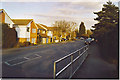
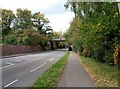
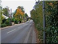
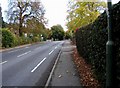
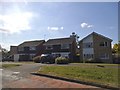
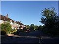
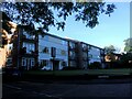
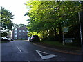
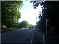
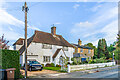
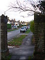
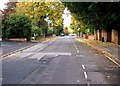
52 photos from this area
Area Information
Key information about the GU1 2NT including its size, population, and administrative classification.
- Area Type
- Postcode
- Area Size
- 1.5 hectares
- Population
- 1731
- Population Density
- 1920 people/km²
House Prices in GU1 2NT
25
Properties
£426,392
Average Sold Price
£130,000
Lowest Price
£897,000
Highest Price
Showing 25 properties
| Address | Type | Beds | Baths | Last Sale Price | Last Sale Date | |
|---|---|---|---|---|---|---|
| 16 Frobisher Gardens, Guildford, GU1 2NT | house | 4 | 3 | £897,000 | Sep 2025 | |
| 12 Frobisher Gardens, Guildford, GU1 2NT | house | - | - | £630,000 | Jun 2021 | |
| 28 Frobisher Gardens, Guildford, GU1 2NT | Semi-detached | 3 | - | £587,000 | May 2020 | |
| 20 Frobisher Gardens, Guildford, GU1 2NT | Semi-detached | 4 | 1 | £550,000 | May 2020 | |
| 19 Frobisher Gardens, Guildford, GU1 2NT | Semi-detached | 3 | 1 | £538,000 | Sep 2019 | |
| 15 Frobisher Gardens, Guildford, GU1 2NT | house | - | - | £645,000 | Nov 2016 | |
| 10 Frobisher Gardens, Guildford, GU1 2NT | Detached | 3 | 1 | £495,000 | Sep 2015 | |
| 5 Frobisher Gardens, Guildford, GU1 2NT | Detached | 4 | - | £620,000 | Apr 2013 | |
| 8 Frobisher Gardens, Guildford, GU1 2NT | house | 3 | - | £420,000 | Oct 2011 | |
| 22 Frobisher Gardens, Guildford, GU1 2NT | Terraced | - | - | £130,000 | Sep 2010 |
Page 1 of 3
Energy Efficiency in GU1 2NT
Amenities
Schools
| Rank | School | Type | Entry gender | Ages |
|---|
Explore more schools in this area
Go to Schools tabDemographics
Household Size
Family (3-5 people)
most common
Accommodation Type
Houses
most common
Tenure
86
majority
Ethnic Group
White
most common
Religion
N/A
most common
Household Composition
N/A
most common
Age
47
median
Adults (30-64 years)
most common
Household Deprivation
N/A
with no deprivation
NS-SEC
55
in Lower managerial occupations
Explore more demographic insights in this area
Go to Demographics tabPlanning
Planning Constraints
- Flood RiskPremium
- Ramsar Wetland SitesPremium
- Area of Outstanding Natural BeautyPremium
- Protected Nature ReservePremium
- Protected WoodlandPremium