Area Overview for DA9 9ND
Photos of DA9 9ND
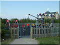
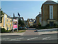
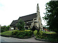

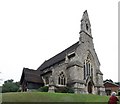
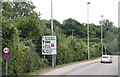

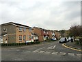
69 photos from this area
Area Information
Key information about the DA9 9ND including its size, population, and administrative classification.
- Area Type
- Postcode
- Area Size
- 2.2 hectares
- Population
- 1540
- Population Density
- 2848 people/km²
House Prices in DA9 9ND
44
Properties
£403,750
Average Sold Price
£249,995
Lowest Price
£660,000
Highest Price
Showing 44 properties
| Address | Type | Beds | Baths | Last Sale Price | Last Sale Date | |
|---|---|---|---|---|---|---|
| Mount Croft, 95 Mounts Road, Greenhithe, DA9 9ND | Detached | 3 | 3 | £660,000 | Oct 2025 | |
| 89 Mounts Road, Greenhithe, DA9 9ND | Detached | 1 | 1 | £527,000 | May 2024 | |
| 115 Mounts Road, Greenhithe, DA9 9ND | house | - | - | £465,000 | Mar 2021 | |
| 117 Mounts Road, Greenhithe, DA9 9ND | Detached | 4 | 3 | £470,000 | Jan 2021 | |
| THE ORCHARD, MOUNTS ROAD, Greenhithe, DA9 9ND | Detached | 5 | 3 | £610,000 | Nov 2019 | |
| 101 Mounts Road, Greenhithe, DA9 9ND | Semi-detached | 3 | - | £350,000 | Jun 2015 | |
| Hillside, 119 Mounts Road, Greenhithe, DA9 9ND | house | 4 | - | £335,000 | Jun 2011 | |
| 121 Mounts Road, Greenhithe, DA9 9ND | house | - | - | £303,000 | Jan 2009 | |
| 111 Mounts Road, Greenhithe, DA9 9ND | Semi-detached | - | - | £275,000 | Jul 2006 | |
| 93 Mounts Road, Greenhithe, DA9 9ND | Detached | - | - | £249,995 | Apr 2004 |
Page 1 of 5
Energy Efficiency in DA9 9ND
Amenities
Schools
| Rank | School | Type | Entry gender | Ages |
|---|
Explore more schools in this area
Go to Schools tabDemographics
Household Size
Family (3-5 people)
most common
Accommodation Type
Houses
most common
Tenure
51
majority
Ethnic Group
White
most common
Religion
N/A
most common
Household Composition
N/A
most common
Age
47
median
Adults (30-64 years)
most common
Household Deprivation
N/A
with no deprivation
NS-SEC
30
in Lower managerial occupations
Explore more demographic insights in this area
Go to Demographics tabPlanning
Planning Constraints
- Flood RiskPremium
- Ramsar Wetland SitesPremium
- Area of Outstanding Natural BeautyPremium
- Protected Nature ReservePremium
- Protected WoodlandPremium