Area Overview for DA4 9HP
Photos of DA4 9HP
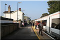

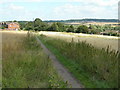
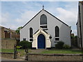
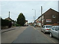
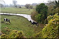
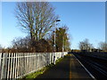
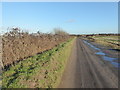
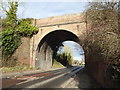

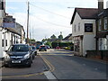
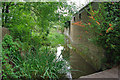
35 photos from this area
Area Information
Key information about the DA4 9HP including its size, population, and administrative classification.
- Area Type
- Postcode
- Area Size
- 1.2 hectares
- Population
- 1297
- Population Density
- 579 people/km²
House Prices in DA4 9HP
39
Properties
£256,300
Average Sold Price
£120,000
Lowest Price
£395,000
Highest Price
Showing 39 properties
| Address | Type | Beds | Baths | Last Sale Price | Last Sale Date | |
|---|---|---|---|---|---|---|
| 170 Main Road, Sutton At Hone, DA4 9HP | Terraced | 2 | 1 | £262,000 | Dec 2024 | |
| 204 Main Road, Sutton At Hone, DA4 9HP | Semi-detached | 3 | 2 | £340,000 | Aug 2024 | |
| 168 Main Road, Sutton At Hone, DA4 9HP | Terraced | 2 | 1 | £285,000 | Aug 2023 | |
| 186 Main Road, Sutton At Hone, DA4 9HP | Terraced | 2 | 1 | £287,000 | Aug 2022 | |
| 180 Main Road, Sutton At Hone, DA4 9HP | Terraced | 2 | 1 | £270,000 | Apr 2022 | |
| 174 Main Road, Sutton At Hone, DA4 9HP | Terraced | 2 | 1 | £290,000 | Sep 2021 | |
| 182 Main Road, Sutton At Hone, DA4 9HP | house | - | - | £265,000 | Jun 2021 | |
| 158 Main Road, Sutton At Hone, DA4 9HP | Terraced | 2 | 2 | £269,000 | Sep 2018 | |
| 214 Main Road, Sutton At Hone, DA4 9HP | house | - | - | £217,000 | Jun 2018 | |
| 152 Main Road, Sutton At Hone, DA4 9HP | Terraced | 2 | 1 | £283,000 | Jul 2017 |
Page 1 of 4
Energy Efficiency in DA4 9HP
Amenities
Schools
| Rank | School | Type | Entry gender | Ages |
|---|
Explore more schools in this area
Go to Schools tabDemographics
Household Size
Family (3-5 people)
most common
Accommodation Type
Houses
most common
Tenure
82
majority
Ethnic Group
White
most common
Religion
N/A
most common
Household Composition
N/A
most common
Age
47
median
Adults (30-64 years)
most common
Household Deprivation
N/A
with no deprivation
NS-SEC
34
in Lower managerial occupations
Explore more demographic insights in this area
Go to Demographics tabPlanning
Planning Constraints
- Flood RiskPremium
- Ramsar Wetland SitesPremium
- Area of Outstanding Natural BeautyPremium
- Protected Nature ReservePremium
- Protected WoodlandPremium