Area Overview for DA4 0DE
Photos of DA4 0DE
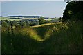
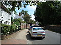
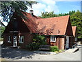
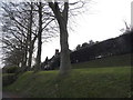
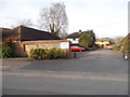
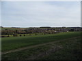
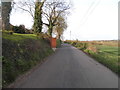
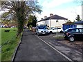
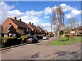
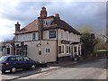
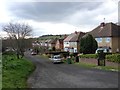
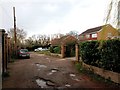
55 photos from this area
Area Information
Key information about the DA4 0DE including its size, population, and administrative classification.
- Area Type
- Postcode
- Area Size
- 1.6 hectares
- Population
- 1458
- Population Density
- 151 people/km²
House Prices in DA4 0DE
13
Properties
£738,500
Average Sold Price
£230,000
Lowest Price
£1,250,000
Highest Price
Showing 13 properties
| Address | Type | Beds | Baths | Last Sale Price | Last Sale Date | |
|---|---|---|---|---|---|---|
| Louisville, High Street, Farningham, DA4 0DE | house | - | - | £500,000 | May 2024 | |
| Potager, High Street, Farningham, DA4 0DE | Detached | 4 | 3 | £1,150,000 | Mar 2024 | |
| Little Pastones, High Street, Farningham, DA4 0DE | Detached | 3 | 1 | £605,000 | Nov 2023 | |
| Sycamore House, High Street, Farningham, DA4 0DE | house | - | - | £1,100,000 | Jul 2021 | |
| South Hall Cottage, High Street, Farningham, DA4 0DE | Bungalow | 3 | 1 | £440,000 | Jan 2021 | |
| South Hall Stable, High Street, Farningham, DA4 0DE | Detached | - | - | £1,125,000 | Jul 2012 | |
| Beech House, High Street, Farningham, DA4 0DE | Detached | - | - | £685,000 | Jul 2004 | |
| The Croft, High Street, Farningham, DA4 0DE | Detached | - | - | £1,250,000 | Feb 2002 | |
| Beeches, High Street, Farningham, DA4 0DE | Semi-detached | - | - | £230,000 | Sep 2001 | |
| Maples, High Street, Farningham, DA4 0DE | Detached | - | - | £300,000 | Aug 1996 |
Page 1 of 2
Energy Efficiency in DA4 0DE
Amenities
Schools
| Rank | School | Type | Entry gender | Ages |
|---|
Explore more schools in this area
Go to Schools tabDemographics
Household Size
Family (3-5 people)
most common
Accommodation Type
Houses
most common
Tenure
78
majority
Ethnic Group
White
most common
Religion
N/A
most common
Household Composition
N/A
most common
Age
47
median
Adults (30-64 years)
most common
Household Deprivation
N/A
with no deprivation
NS-SEC
44
in Lower managerial occupations
Explore more demographic insights in this area
Go to Demographics tabPlanning
Planning Constraints
- Flood RiskPremium
- Ramsar Wetland SitesPremium
- Area of Outstanding Natural BeautyPremium
- Protected Nature ReservePremium
- Protected WoodlandPremium