Area Overview for CR3 7BQ
Photos of CR3 7BQ
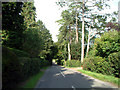
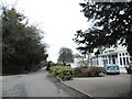
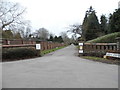
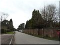
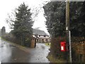
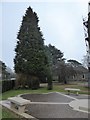
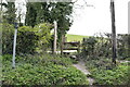
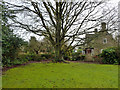
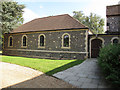
36 photos from this area
Area Information
Key information about the CR3 7BQ including its size, population, and administrative classification.
- Area Type
- Postcode
- Area Size
- 7.5 hectares
- Population
- 2542
- Population Density
- 234 people/km²
House Prices in CR3 7BQ
10
Properties
£872,813
Average Sold Price
£410,000
Lowest Price
£1,330,000
Highest Price
Showing 10 properties
| Address | Type | Beds | Baths | Last Sale Price | Last Sale Date | |
|---|---|---|---|---|---|---|
| Cranfield, Southfields Road, Woldingham, CR3 7BQ | Detached | 4 | 2 | £820,000 | May 2025 | |
| Robin Hill, Southfields Road, Woldingham, CR3 7BQ | Detached | 4 | 2 | £1,020,000 | May 2023 | |
| Greenhill Down, Southfields Road, Woldingham, CR3 7BQ | Detached | 5 | 2 | £1,262,500 | Oct 2022 | |
| Fircroft, Southfields Road, Woldingham, CR3 7BQ | Detached | 4 | - | £850,000 | Mar 2021 | |
| Beau Coin House, Southfields Road, Woldingham, CR3 7BQ | Detached | 4 | 3 | £1,330,000 | Jun 2020 | |
| Pipers Dene, Southfields Road, Woldingham, CR3 7BQ | house | - | - | £710,000 | Apr 2010 | |
| Southfields House, Southfields Road, Woldingham, CR3 7BQ | Detached | 4 | 3 | £580,000 | Jan 2009 | |
| Beau Coin Cottage, Southfields Road, Woldingham, CR3 7BQ | Detached | - | - | £410,000 | May 2004 | |
| Mott House, Southfields Road, Woldingham, CR3 7BQ | Detached | - | - | - | - | |
| Holly Cottage, Southfields Road, Woldingham, CR3 7BQ | Detached | - | - | - | - |
Energy Efficiency in CR3 7BQ
Amenities
Schools
| Rank | School | Type | Entry gender | Ages |
|---|
Explore more schools in this area
Go to Schools tabDemographics
Household Size
Family (3-5 people)
most common
Accommodation Type
Houses
most common
Tenure
88
majority
Ethnic Group
White
most common
Religion
N/A
most common
Household Composition
N/A
most common
Age
47
median
Adults (30-64 years)
most common
Household Deprivation
N/A
with no deprivation
NS-SEC
51
in Lower managerial occupations
Explore more demographic insights in this area
Go to Demographics tabPlanning
Planning Constraints
- Flood RiskPremium
- Ramsar Wetland SitesPremium
- Area of Outstanding Natural BeautyPremium
- Protected Nature ReservePremium
- Protected WoodlandPremium