Area Overview for CR3 7BH
Photos of CR3 7BH
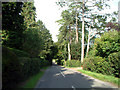
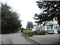

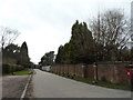
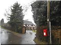

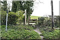
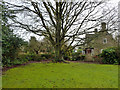


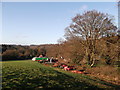
36 photos from this area
Area Information
Key information about the CR3 7BH including its size, population, and administrative classification.
- Area Type
- Postcode
- Area Size
- 3.2 hectares
- Population
- 2542
- Population Density
- 234 people/km²
House Prices in CR3 7BH
14
Properties
£578,383
Average Sold Price
£380,000
Lowest Price
£1,100,000
Highest Price
Showing 14 properties
| Address | Type | Beds | Baths | Last Sale Price | Last Sale Date | |
|---|---|---|---|---|---|---|
| Byron House, Slines Oak Road, Woldingham, CR3 7BH | Detached | 4 | 2 | £1,100,000 | Jan 2019 | |
| Candlewood, Slines Oak Road, Woldingham, CR3 7BH | Detached | - | - | £695,000 | Jan 2007 | |
| Aboyne, Slines Oak Road, Woldingham, CR3 7BH | Detached | 4 | 3 | £515,000 | Aug 2005 | |
| White Gates, Slines Oak Road, Woldingham, CR3 7BH | Detached | - | - | £440,000 | Feb 2003 | |
| The Almonds, Slines Oak Road, Woldingham, CR3 7BH | Detached | 4 | 3 | £417,450 | Mar 2002 | |
| Oakdene, Slines Oak Road, Woldingham, CR3 7BH | Detached | - | - | £388,000 | Sep 2000 | |
| Woodside, Slines Oak Road, Woldingham, CR3 7BH | Detached | 5 | 4 | £800,000 | Nov 1999 | |
| Flintway, Slines Oak Road, Woldingham, CR3 7BH | Detached | - | - | £470,000 | Sep 1999 | |
| Oak Lodge, Slines Oak Road, Woldingham, CR3 7BH | Detached | - | - | £380,000 | Oct 1996 | |
| Karingal, Slines Oak Road, Woldingham, CR3 7BH | Retail | 4 | 2 | - | - |
Page 1 of 2
Energy Efficiency in CR3 7BH
Amenities
Schools
| Rank | School | Type | Entry gender | Ages |
|---|
Explore more schools in this area
Go to Schools tabDemographics
Household Size
Family (3-5 people)
most common
Accommodation Type
Houses
most common
Tenure
88
majority
Ethnic Group
White
most common
Religion
N/A
most common
Household Composition
N/A
most common
Age
47
median
Adults (30-64 years)
most common
Household Deprivation
N/A
with no deprivation
NS-SEC
51
in Lower managerial occupations
Explore more demographic insights in this area
Go to Demographics tabPlanning
Planning Constraints
- Flood RiskPremium
- Ramsar Wetland SitesPremium
- Area of Outstanding Natural BeautyPremium
- Protected Nature ReservePremium
- Protected WoodlandPremium