Area Overview for BN6 8SP
Photos of BN6 8SP
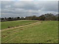
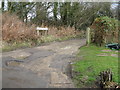
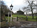
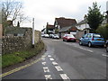
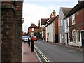
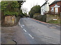
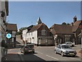
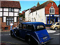
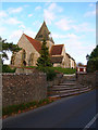
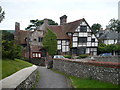
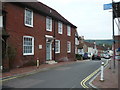
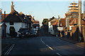
99 photos from this area
Area Information
Key information about the BN6 8SP including its size, population, and administrative classification.
- Area Type
- Postcode
- Area Size
- 13.4 hectares
- Population
- 2554
- Population Density
- 107 people/km²
House Prices in BN6 8SP
12
Properties
£773,750
Average Sold Price
£540,000
Lowest Price
£1,020,000
Highest Price
Showing 12 properties
| Address | Type | Beds | Baths | Last Sale Price | Last Sale Date | |
|---|---|---|---|---|---|---|
| Three Beams, Lodge Hill Lane, Ditchling, BN6 8SP | Detached | 4 | 3 | £655,000 | Mar 2014 | |
| The Old Manor House, Lodge Hill Lane, Ditchling, BN6 8SP | Semi-detached | 5 | - | £1,020,000 | Jan 2013 | |
| New Court House, Lodge Hill Lane, Ditchling, BN6 8SP | house | - | - | £880,000 | Aug 2009 | |
| Court Cottage, Lodge Hill Lane, Ditchling, BN6 8SP | Semi-detached | - | - | £540,000 | Oct 2004 | |
| Lodge Hill Cottage, Lodge Hill Lane, Ditchling, BN6 8SP | Detached | 2 | 1 | - | - | |
| The Barn, Ditchling Museum Of Art And Craft, Lodge Hill Lane, Ditchling, BN6 8SP | Leisure | - | - | - | - | |
| Curators Flat, Ditchling Museum, Church Lane, Ditchling, BN6 8SP | Flat | - | - | - | - | |
| Ditchling Court, Lodge Hill Lane, Ditchling, BN6 8SP | house | - | - | - | - | |
| Hill Bottom, Lodge Hill Lane, Ditchling, BN6 8SP | Bungalow | - | - | - | - | |
| The Barn On The Green, Lodge Hill Lane, Ditchling, BN6 8SP | commercial | - | - | - | - |
Page 1 of 2
Energy Efficiency in BN6 8SP
Amenities
Schools
| Rank | School | Type | Entry gender | Ages |
|---|
Explore more schools in this area
Go to Schools tabDemographics
Household Size
Two person
most common
Accommodation Type
Houses
most common
Tenure
83
majority
Ethnic Group
White
most common
Religion
N/A
most common
Household Composition
N/A
most common
Age
47
median
Elderly (65+ years)
most common
Household Deprivation
N/A
with no deprivation
NS-SEC
48
in Lower managerial occupations
Explore more demographic insights in this area
Go to Demographics tabPlanning
Planning Constraints
- Flood RiskPremium
- Ramsar Wetland SitesPremium
- Area of Outstanding Natural BeautyPremium
- Protected Nature ReservePremium
- Protected WoodlandPremium