Area Overview for BN3 7GF
Photos of BN3 7GF
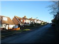
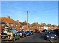
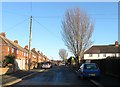
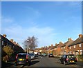
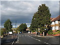
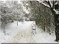
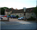
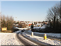
45 photos from this area
Area Information
Key information about the BN3 7GF including its size, population, and administrative classification.
- Area Type
- Postcode
- Area Size
- 2.7 hectares
- Population
- Not available
- Population Density
- Not available
House Prices in BN3 7GF
23
Properties
£395,562
Average Sold Price
£74,500
Lowest Price
£569,000
Highest Price
Showing 23 properties
| Address | Type | Beds | Baths | Last Sale Price | Last Sale Date | |
|---|---|---|---|---|---|---|
| 60 Hangleton Road, Hove, BN3 7GF | Semi-detached | 3 | 2 | £565,000 | Feb 2024 | |
| 70 Hangleton Road, Hove, BN3 7GF | house | 4 | 2 | £564,000 | Jun 2021 | |
| 54 Hangleton Road, Hove, BN3 7GF | house | - | - | £545,000 | Mar 2021 | |
| 58 Hangleton Road, Hove, BN3 7GF | house | - | - | £495,000 | Feb 2020 | |
| 66 Hangleton Road, Hove, BN3 7GF | house | - | - | £566,505 | Feb 2019 | |
| 88 Hangleton Road, Hove, BN3 7GF | Detached | 3 | - | £513,750 | Sep 2018 | |
| 86 Hangleton Road, Hove, BN3 7GF | house | - | - | £478,540 | Oct 2017 | |
| 82 Hangleton Road, Hove, BN3 7GF | house | - | - | £569,000 | Aug 2016 | |
| 80 Hangleton Road, Hove, BN3 7GF | house | - | - | £375,000 | Oct 2015 | |
| 64 Hangleton Road, Hove, BN3 7GF | house | 3 | - | £389,950 | May 2015 |
Page 1 of 3
Energy Efficiency in BN3 7GF
Amenities
Schools
| Rank | School | Type | Entry gender | Ages |
|---|
Explore more schools in this area
Go to Schools tabDemographics
Household Size
Family (3-5 people)
most common
Accommodation Type
Houses
most common
Tenure
52
majority
Ethnic Group
White
most common
Religion
N/A
most common
Household Composition
N/A
most common
Age
47
median
Adults (30-64 years)
most common
Household Deprivation
N/A
with no deprivation
NS-SEC
31
in Lower managerial occupations
Explore more demographic insights in this area
Go to Demographics tabPlanning
Planning Constraints
- Flood RiskPremium
- Ramsar Wetland SitesPremium
- Area of Outstanding Natural BeautyPremium
- Protected Nature ReservePremium
- Protected WoodlandPremium