Area Overview for BN20 0JG
Photos of BN20 0JG
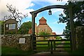
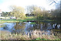
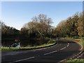
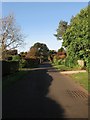
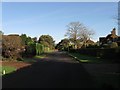
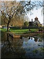
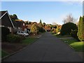
100 photos from this area
Area Information
Key information about the BN20 0JG including its size, population, and administrative classification.
- Area Type
- Postcode
- Area Size
- 2.7 hectares
- Population
- 2215
- Population Density
- 52 people/km²
House Prices in BN20 0JG
17
Properties
£514,731
Average Sold Price
£115,000
Lowest Price
£1,150,000
Highest Price
Showing 17 properties
| Address | Type | Beds | Baths | Last Sale Price | Last Sale Date | |
|---|---|---|---|---|---|---|
| 20 Deneside, East Dean, BN20 0JG | house | 4 | 2 | £800,000 | Sep 2024 | |
| 24 Deneside, East Dean, BN20 0JG | Detached | 4 | 3 | £1,150,000 | Jan 2024 | |
| 26 Deneside, East Dean, BN20 0JG | Detached | 4 | 3 | £1,040,000 | Nov 2022 | |
| 22 Deneside, East Dean, BN20 0JG | house | - | - | £730,000 | Apr 2018 | |
| 34 Deneside, East Dean, BN20 0JG | Detached | 3 | 1 | £430,000 | Nov 2017 | |
| 36 Deneside, East Dean, BN20 0JG | house | 3 | 1 | £445,000 | Sep 2013 | |
| 16 Deneside, East Dean, BN20 0JG | Semi-detached | 3 | 2 | £385,000 | Jan 2013 | |
| 18 Deneside, East Dean, BN20 0JG | Detached | - | - | £340,000 | Jul 2007 | |
| 38 Deneside, East Dean, BN20 0JG | Detached | 3 | - | £338,000 | Aug 2006 | |
| 44 Deneside, East Dean, BN20 0JG | Detached | - | - | £358,000 | Dec 2003 |
Page 1 of 2
Energy Efficiency in BN20 0JG
Amenities
Schools
| Rank | School | Type | Entry gender | Ages |
|---|
Explore more schools in this area
Go to Schools tabDemographics
Household Size
Two person
most common
Accommodation Type
Houses
most common
Tenure
84
majority
Ethnic Group
White
most common
Religion
N/A
most common
Household Composition
N/A
most common
Age
47
median
Elderly (65+ years)
most common
Household Deprivation
N/A
with no deprivation
NS-SEC
50
in Lower managerial occupations
Explore more demographic insights in this area
Go to Demographics tabPlanning
Planning Constraints
- Flood RiskPremium
- Ramsar Wetland SitesPremium
- Area of Outstanding Natural BeautyPremium
- Protected Nature ReservePremium
- Protected WoodlandPremium