Area Overview for BN2 9TP
Photos of BN2 9TP
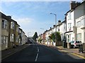
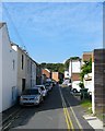
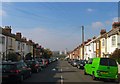
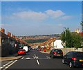
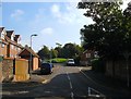
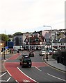
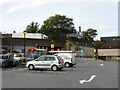
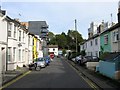
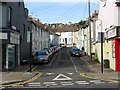
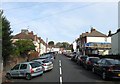
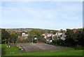
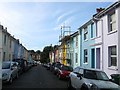
100 photos from this area
Area Information
Key information about the BN2 9TP including its size, population, and administrative classification.
- Area Type
- Postcode
- Area Size
- 5337 m²
- Population
- 1684
- Population Density
- 21673 people/km²
House Prices in BN2 9TP
38
Properties
£286,998
Average Sold Price
£54,000
Lowest Price
£600,000
Highest Price
Showing 38 properties
| Address | Type | Beds | Baths | Last Sale Price | Last Sale Date | |
|---|---|---|---|---|---|---|
| 28 Howard Road, Brighton, BN2 9TP | Terraced | 2 | 1 | £429,950 | Nov 2024 | |
| 17 Howard Road, Brighton, BN2 9TP | Terraced | 2 | 1 | £485,000 | Oct 2024 | |
| 12 Howard Road, Brighton, BN2 9TP | Detached | 2 | 1 | £350,000 | Nov 2022 | |
| 29 Howard Road, Brighton, BN2 9TP | Terraced | 2 | 1 | £380,000 | Nov 2021 | |
| 24 Howard Road, Brighton, BN2 9TP | Terraced | 3 | 1 | £362,500 | Feb 2020 | |
| 7 Howard Road, Brighton, BN2 9TP | Terraced | 3 | 1 | £485,000 | Jan 2017 | |
| 23 Howard Road, Brighton, BN2 9TP | house | 4 | - | £600,000 | Aug 2016 | |
| 14 Howard Road, Brighton, BN2 9TP | Terraced | 4 | 1 | £495,000 | Mar 2015 | |
| 27 Howard Road, Brighton, BN2 9TP | Terraced | 2 | 1 | £247,000 | Oct 2013 | |
| 26 Howard Road, Brighton, BN2 9TP | house | - | - | £212,000 | Nov 2012 |
Page 1 of 4
Energy Efficiency in BN2 9TP
Amenities
Schools
| Rank | School | Type | Entry gender | Ages |
|---|
Explore more schools in this area
Go to Schools tabDemographics
Household Size
Family (3-5 people)
most common
Accommodation Type
Houses
most common
Tenure
58
majority
Ethnic Group
White
most common
Religion
N/A
most common
Household Composition
N/A
most common
Age
47
median
Adults (30-64 years)
most common
Household Deprivation
N/A
with no deprivation
NS-SEC
43
in Lower managerial occupations
Explore more demographic insights in this area
Go to Demographics tabPlanning
Planning Constraints
- Flood RiskPremium
- Ramsar Wetland SitesPremium
- Area of Outstanding Natural BeautyPremium
- Protected Nature ReservePremium
- Protected WoodlandPremium