Area Overview for BN2 3DD
Photos of BN2 3DD
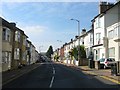
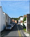
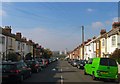
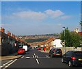
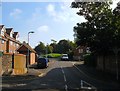
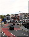
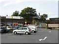
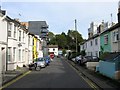
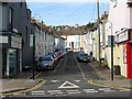
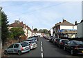
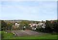
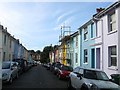
100 photos from this area
Area Information
Key information about the BN2 3DD including its size, population, and administrative classification.
- Area Type
- Postcode
- Area Size
- 8283 m²
- Population
- 1880
- Population Density
- 16014 people/km²
House Prices in BN2 3DD
52
Properties
£265,882
Average Sold Price
£59,999
Lowest Price
£562,251
Highest Price
Showing 52 properties
| Address | Type | Beds | Baths | Last Sale Price | Last Sale Date | |
|---|---|---|---|---|---|---|
| 68 Elm Grove, Brighton, BN2 3DD | house | 5 | - | £319,811 | Dec 2024 | |
| 20 Elm Grove, Brighton, BN2 3DD | Terraced | 2 | 1 | £417,500 | Nov 2023 | |
| 78B Elm Grove, Brighton, BN2 3DD | Flat | - | - | £97,000 | Jul 2022 | |
| 62 Elm Grove, Brighton, BN2 3DD | house | 2 | - | £562,251 | Jun 2022 | |
| 94 Elm Grove, Brighton, BN2 3DD | house | - | - | £470,000 | Dec 2019 | |
| 78A Elm Grove, Brighton, BN2 3DD | Terraced | 5 | 2 | £470,000 | Jul 2018 | |
| 64 Elm Grove, Brighton, BN2 3DD | Maisonette | 4 | - | £88,500 | May 2018 | |
| 8 Elm Grove, Brighton, BN2 3DD | Terraced | 5 | 1 | £410,000 | Aug 2017 | |
| 98 Elm Grove, Brighton, BN2 3DD | house | - | - | £390,000 | Nov 2016 | |
| 80 Elm Grove, Brighton, BN2 3DD | house | - | - | £382,500 | Sep 2014 |
Page 1 of 6
Energy Efficiency in BN2 3DD
Amenities
Schools
| Rank | School | Type | Entry gender | Ages |
|---|
Explore more schools in this area
Go to Schools tabDemographics
Household Size
One person
most common
Accommodation Type
Flats
most common
Tenure
37
majority
Ethnic Group
White
most common
Religion
N/A
most common
Household Composition
N/A
most common
Age
22
median
Adults (30-64 years)
most common
Household Deprivation
N/A
with no deprivation
NS-SEC
32
in Lower managerial occupations
Explore more demographic insights in this area
Go to Demographics tabPlanning
Planning Constraints
- Flood RiskPremium
- Ramsar Wetland SitesPremium
- Area of Outstanding Natural BeautyPremium
- Protected Nature ReservePremium
- Protected WoodlandPremium