Area Overview for BN2 3PD
Photos of BN2 3PD
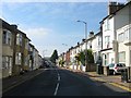
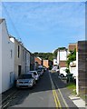
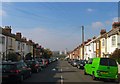
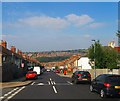
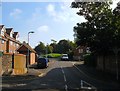
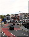
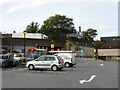
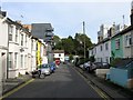
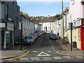
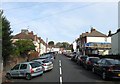
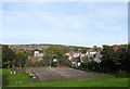
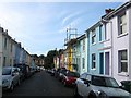
100 photos from this area
Area Information
Key information about the BN2 3PD including its size, population, and administrative classification.
- Area Type
- Postcode
- Area Size
- 7252 m²
- Population
- 1880
- Population Density
- 16014 people/km²
House Prices in BN2 3PD
75
Properties
£379,055
Average Sold Price
£57,950
Lowest Price
£1,500,000
Highest Price
Showing 75 properties
| Address | Type | Beds | Baths | Last Sale Price | Last Sale Date | |
|---|---|---|---|---|---|---|
| 56 Brading Road, Brighton, BN2 3PD | Terraced | 6 | 2 | £500,000 | Mar 2024 | |
| 32 Brading Road, Brighton, BN2 3PD | Terraced | 5 | 2 | £475,000 | Oct 2023 | |
| 38 Brading Road, Brighton, BN2 3PD | Terraced | 5 | 2 | £495,000 | Jul 2023 | |
| 8 Brading Road, Brighton, BN2 3PD | Maisonette | 2 | 1 | £366,000 | Dec 2022 | |
| 6A Brading Road, Brighton, BN2 3PD | Flat | 1 | 1 | £249,250 | Oct 2022 | |
| 48 Brading Road, Brighton, BN2 3PD | Terraced | 4 | 1 | £540,000 | Sep 2021 | |
| 46 Brading Road, Brighton, BN2 3PD | house | - | - | £555,000 | Aug 2021 | |
| 80 Brading Road, Brighton, BN2 3PD | house | - | - | £555,000 | Jul 2021 | |
| 60 Brading Road, Brighton, BN2 3PD | house | 3 | 2 | £542,000 | Dec 2020 | |
| 88 Brading Road, Brighton, BN2 3PD | Terraced | 6 | 3 | £595,000 | Sep 2018 |
Page 1 of 8
Energy Efficiency in BN2 3PD
Amenities
Schools
| Rank | School | Type | Entry gender | Ages |
|---|
Explore more schools in this area
Go to Schools tabDemographics
Household Size
One person
most common
Accommodation Type
Flats
most common
Tenure
37
majority
Ethnic Group
White
most common
Religion
N/A
most common
Household Composition
N/A
most common
Age
22
median
Adults (30-64 years)
most common
Household Deprivation
N/A
with no deprivation
NS-SEC
32
in Lower managerial occupations
Explore more demographic insights in this area
Go to Demographics tabPlanning
Planning Constraints
- Flood RiskPremium
- Ramsar Wetland SitesPremium
- Area of Outstanding Natural BeautyPremium
- Protected Nature ReservePremium
- Protected WoodlandPremium