Area Overview for BN2 3JB
Photos of BN2 3JB
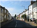
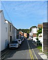
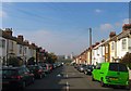
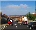
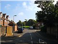
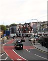
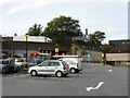
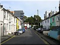
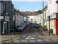
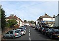
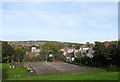
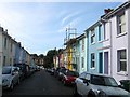
100 photos from this area
Area Information
Key information about the BN2 3JB including its size, population, and administrative classification.
- Area Type
- Postcode
- Area Size
- 1904 m²
- Population
- 1960
- Population Density
- 20103 people/km²
House Prices in BN2 3JB
19
Properties
£330,616
Average Sold Price
£63,500
Lowest Price
£600,000
Highest Price
Showing 19 properties
| Address | Type | Beds | Baths | Last Sale Price | Last Sale Date | |
|---|---|---|---|---|---|---|
| 6 Inverness Road, Brighton, BN2 3JB | Terraced | 2 | 1 | £455,000 | Oct 2022 | |
| 18 Inverness Road, Brighton, BN2 3JB | Terraced | 6 | 2 | £600,000 | Jul 2022 | |
| 5 Inverness Road, Brighton, BN2 3JB | Terraced | 6 | 2 | £441,500 | May 2022 | |
| 10 Inverness Road, Brighton, BN2 3JB | Terraced | 3 | 1 | £595,000 | Feb 2020 | |
| 3 Inverness Road, Brighton, BN2 3JB | Terraced | 6 | 3 | £589,980 | Oct 2019 | |
| 16 Inverness Road, Brighton, BN2 3JB | house | - | - | £372,150 | May 2017 | |
| 13 Inverness Road, Brighton, BN2 3JB | Terraced | 7 | 2 | £335,000 | Apr 2015 | |
| 2 Inverness Road, Brighton, BN2 3JB | Terraced | 6 | 2 | £270,000 | Sep 2011 | |
| 7 Inverness Road, Brighton, BN2 3JB | Terraced | 5 | 1 | £238,050 | Jun 2011 | |
| 11 Inverness Road, Brighton, BN2 3JB | Terraced | 4 | 1 | £236,000 | Aug 2010 |
Page 1 of 2
Energy Efficiency in BN2 3JB
Amenities
Schools
| Rank | School | Type | Entry gender | Ages |
|---|
Explore more schools in this area
Go to Schools tabDemographics
Household Size
Family (3-5 people)
most common
Accommodation Type
Flats
most common
Tenure
34
majority
Ethnic Group
White
most common
Religion
N/A
most common
Household Composition
N/A
most common
Age
22
median
Young Adults (15-29 years)
most common
Household Deprivation
N/A
with no deprivation
NS-SEC
23
in Lower managerial occupations
Explore more demographic insights in this area
Go to Demographics tabPlanning
Planning Constraints
- Flood RiskPremium
- Ramsar Wetland SitesPremium
- Area of Outstanding Natural BeautyPremium
- Protected Nature ReservePremium
- Protected WoodlandPremium