Area Overview for BN2 3HA
Photos of BN2 3HA
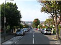
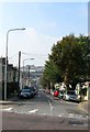
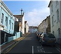
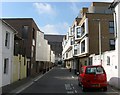
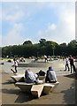
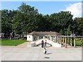
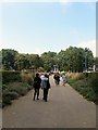
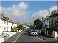
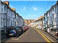
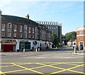
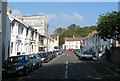
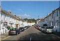
100 photos from this area
Area Information
Key information about the BN2 3HA including its size, population, and administrative classification.
- Area Type
- Postcode
- Area Size
- 5.5 hectares
- Population
- 1730
- Population Density
- 13442 people/km²
House Prices in BN2 3HA
84
Properties
£770,694
Average Sold Price
£196,250
Lowest Price
£1,490,000
Highest Price
Showing 84 properties
| Address | Type | Beds | Baths | Last Sale Price | Last Sale Date | |
|---|---|---|---|---|---|---|
| 9 Park Crescent, Brighton, BN2 3HA | Flat | - | - | £1,140,000 | Aug 2021 | |
| 1 Park Crescent, Brighton, BN2 3HA | Terraced | 2 | 1 | £1,490,000 | Jan 2019 | |
| 3 Park Crescent, Brighton, BN2 3HA | Terraced | - | - | £875,000 | Oct 2008 | |
| 16 Park Crescent, Brighton, BN2 3HA | Flat | - | - | £811,300 | Feb 2008 | |
| 4 Park Crescent, Brighton, BN2 3HA | Terraced | - | - | £695,000 | Dec 2005 | |
| 10 Park Crescent, Brighton, BN2 3HA | Terraced | 6 | 3 | £725,000 | Jun 2005 | |
| 2 Park Crescent, Brighton, BN2 3HA | Terraced | 3 | 2 | £233,000 | Nov 1999 | |
| 6 Park Crescent, Brighton, BN2 3HA | Terraced | - | - | £196,250 | May 1996 | |
| 8A Park Crescent, Brighton, BN2 3HA | Flat | 2 | 1 | - | - | |
| 13A Park Crescent, Brighton, BN2 3HA | Flat | 2 | 1 | - | - |
Page 1 of 9
Energy Efficiency in BN2 3HA
Amenities
Schools
| Rank | School | Type | Entry gender | Ages |
|---|
Explore more schools in this area
Go to Schools tabDemographics
Household Size
One person
most common
Accommodation Type
Flats
most common
Tenure
35
majority
Ethnic Group
White
most common
Religion
N/A
most common
Household Composition
N/A
most common
Age
22
median
Young Adults (15-29 years)
most common
Household Deprivation
N/A
with no deprivation
NS-SEC
29
in Lower managerial occupations
Explore more demographic insights in this area
Go to Demographics tabPlanning
Planning Constraints
- Flood RiskPremium
- Ramsar Wetland SitesPremium
- Area of Outstanding Natural BeautyPremium
- Protected Nature ReservePremium
- Protected WoodlandPremium