Area Overview for BN18 0GX
Photos of BN18 0GX
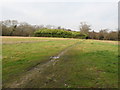
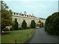
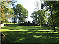
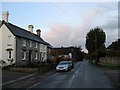
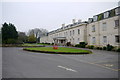

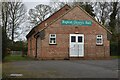

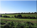
30 photos from this area
Area Information
Key information about the BN18 0GX including its size, population, and administrative classification.
- Area Type
- Postcode
- Area Size
- 2.7 hectares
- Population
- 1552
- Population Density
- 322 people/km²
House Prices in BN18 0GX
41
Properties
£433,118
Average Sold Price
£308,750
Lowest Price
£609,000
Highest Price
Showing 41 properties
| Address | Type | Beds | Baths | Last Sale Price | Last Sale Date | |
|---|---|---|---|---|---|---|
| 42 Dowling Way, Walberton, BN18 0GX | house | - | - | £417,500 | Apr 2025 | |
| 54 Dowling Way, Walberton, BN18 0GX | house | - | - | £308,750 | Mar 2025 | |
| 40 Dowling Way, Walberton, BN18 0GX | house | - | - | £515,000 | Mar 2025 | |
| 50 Dowling Way, Walberton, BN18 0GX | house | - | - | £430,000 | Feb 2025 | |
| 48 Dowling Way, Walberton, BN18 0GX | house | - | - | £510,000 | Feb 2025 | |
| 78 Dowling Way, Walberton, BN18 0GX | house | - | - | £609,000 | Jul 2024 | |
| 28 Dowling Way, Walberton, BN18 0GX | house | - | - | £494,000 | Apr 2024 | |
| 34 Dowling Way, Walberton, BN18 0GX | house | - | - | £385,000 | Jan 2024 | |
| 26 Dowling Way, Walberton, BN18 0GX | house | - | - | £395,000 | Apr 2023 | |
| 24 Dowling Way, Walberton, BN18 0GX | house | - | - | £395,000 | Mar 2023 |
Page 1 of 5
Energy Efficiency in BN18 0GX
Amenities
Schools
| Rank | School | Type | Entry gender | Ages |
|---|
Explore more schools in this area
Go to Schools tabDemographics
Household Size
Two person
most common
Accommodation Type
Houses
most common
Tenure
82
majority
Ethnic Group
White
most common
Religion
N/A
most common
Household Composition
N/A
most common
Age
47
median
Adults (30-64 years)
most common
Household Deprivation
N/A
with no deprivation
NS-SEC
41
in Lower managerial occupations
Explore more demographic insights in this area
Go to Demographics tabPlanning
Planning Constraints
- Flood RiskPremium
- Ramsar Wetland SitesPremium
- Area of Outstanding Natural BeautyPremium
- Protected Nature ReservePremium
- Protected WoodlandPremium