Area Overview for BN15 0ND
Photos of BN15 0ND
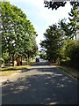
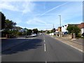
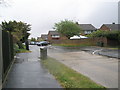
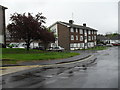
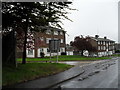
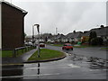
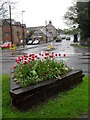
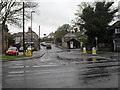
82 photos from this area
Area Information
Key information about the BN15 0ND including its size, population, and administrative classification.
- Area Type
- Postcode
- Area Size
- 2.9 hectares
- Population
- 1593
- Population Density
- 776 people/km²
House Prices in BN15 0ND
61
Properties
£278,312
Average Sold Price
£57,000
Lowest Price
£515,000
Highest Price
Showing 61 properties
| Address | Type | Beds | Baths | Last Sale Price | Last Sale Date | |
|---|---|---|---|---|---|---|
| 46 Halewick Lane, Sompting, BN15 0ND | Semi-detached | 5 | 2 | £410,000 | Jan 2025 | |
| 59 Halewick Lane, Sompting, BN15 0ND | Detached | 3 | 2 | £450,000 | Dec 2023 | |
| 70 Halewick Lane, Sompting, BN15 0ND | Semi-detached | 3 | 1 | £400,000 | Oct 2023 | |
| 45 Halewick Lane, Sompting, BN15 0ND | Semi-detached | 4 | 1 | £515,000 | Jul 2023 | |
| 61 Halewick Lane, Sompting, BN15 0ND | Semi-detached | 2 | 1 | £350,000 | Jun 2023 | |
| 57A Halewick Lane, Sompting, BN15 0ND | Detached | 3 | 1 | £425,000 | Aug 2022 | |
| 40 Halewick Lane, Sompting, BN15 0ND | house | - | - | £342,000 | Mar 2022 | |
| 24 Halewick Lane, Sompting, BN15 0ND | Bungalow | 1 | - | £270,000 | Sep 2021 | |
| 21 Halewick Lane, Sompting, BN15 0ND | Semi-detached | 3 | 2 | £385,000 | Aug 2021 | |
| 44 Halewick Lane, Sompting, BN15 0ND | house | - | - | £387,500 | Jan 2021 |
Page 1 of 7
Energy Efficiency in BN15 0ND
Amenities
Schools
| Rank | School | Type | Entry gender | Ages |
|---|
Explore more schools in this area
Go to Schools tabDemographics
Household Size
Two person
most common
Accommodation Type
Houses
most common
Tenure
87
majority
Ethnic Group
White
most common
Religion
N/A
most common
Household Composition
N/A
most common
Age
47
median
Adults (30-64 years)
most common
Household Deprivation
N/A
with no deprivation
NS-SEC
29
in Lower managerial occupations
Explore more demographic insights in this area
Go to Demographics tabPlanning
Planning Constraints
- Flood RiskPremium
- Ramsar Wetland SitesPremium
- Area of Outstanding Natural BeautyPremium
- Protected Nature ReservePremium
- Protected WoodlandPremium