Area Overview for BN15 0LW
Photos of BN15 0LW
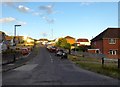
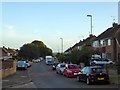
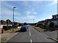
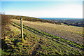
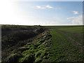
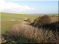
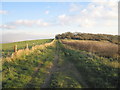
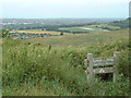
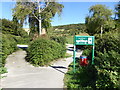
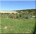
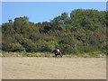
36 photos from this area
Area Information
Key information about the BN15 0LW including its size, population, and administrative classification.
- Area Type
- Postcode
- Area Size
- 23.4 hectares
- Population
- 1593
- Population Density
- 776 people/km²
House Prices in BN15 0LW
44
Properties
£183,712
Average Sold Price
£43,250
Lowest Price
£415,000
Highest Price
Showing 44 properties
| Address | Type | Beds | Baths | Last Sale Price | Last Sale Date | |
|---|---|---|---|---|---|---|
| 7 Howard Road, Sompting, BN15 0LW | Semi-detached | 2 | 1 | £315,000 | Dec 2024 | |
| Sea Glimpse, Howard Road, Sompting, BN15 0LW | Bungalow | 2 | 1 | £415,000 | Sep 2024 | |
| 47 Howard Road, Sompting, BN15 0LW | Bungalow | 3 | 1 | £400,000 | May 2023 | |
| 6 Howard Road, Sompting, BN15 0LW | Semi-detached | 2 | 1 | £334,000 | Nov 2022 | |
| 10 Howard Road, Sompting, BN15 0LW | Bungalow | 2 | - | £350,000 | Nov 2021 | |
| 27 Howard Road, Sompting, BN15 0LW | Bungalow | - | - | £290,000 | Apr 2021 | |
| 57 Howard Road, Sompting, BN15 0LW | Bungalow | 2 | 1 | £300,000 | Nov 2020 | |
| 25 Howard Road, Sompting, BN15 0LW | Semi-detached | 4 | 2 | £337,500 | Jul 2020 | |
| 12 Howard Road, Sompting, BN15 0LW | Bungalow | 2 | 1 | £245,000 | Jul 2018 | |
| 5 Howard Road, Sompting, BN15 0LW | Bungalow | 2 | 1 | £210,000 | Jul 2014 |
Page 1 of 5
Energy Efficiency in BN15 0LW
Amenities
Schools
| Rank | School | Type | Entry gender | Ages |
|---|
Explore more schools in this area
Go to Schools tabDemographics
Household Size
Two person
most common
Accommodation Type
Houses
most common
Tenure
87
majority
Ethnic Group
White
most common
Religion
N/A
most common
Household Composition
N/A
most common
Age
47
median
Adults (30-64 years)
most common
Household Deprivation
N/A
with no deprivation
NS-SEC
29
in Lower managerial occupations
Explore more demographic insights in this area
Go to Demographics tabPlanning
Planning Constraints
- Flood RiskPremium
- Ramsar Wetland SitesPremium
- Area of Outstanding Natural BeautyPremium
- Protected Nature ReservePremium
- Protected WoodlandPremium