Area Overview for BN12 5BT
Photos of BN12 5BT
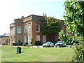
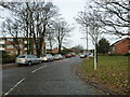
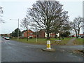
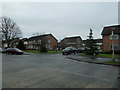
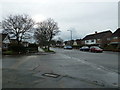
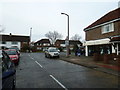
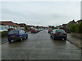
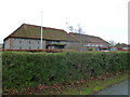
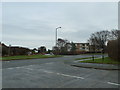
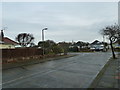
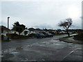
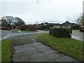
100 photos from this area
Area Information
Key information about the BN12 5BT including its size, population, and administrative classification.
- Area Type
- Postcode
- Area Size
- 8574 m²
- Population
- Not available
- Population Density
- Not available
House Prices in BN12 5BT
10
Properties
£324,723
Average Sold Price
£182,000
Lowest Price
£480,000
Highest Price
Showing 10 properties
| Address | Type | Beds | Baths | Last Sale Price | Last Sale Date | |
|---|---|---|---|---|---|---|
| 179 Goring Way, Goring, Worthing, BN12 5BT | Bungalow | 3 | 1 | £480,000 | Feb 2025 | |
| 173 Goring Way, Goring, Worthing, BN12 5BT | Bungalow | 2 | 1 | £475,000 | Mar 2022 | |
| 165 Goring Way, Goring, Worthing, BN12 5BT | Bungalow | - | - | £345,000 | Dec 2020 | |
| 169 Goring Way, Goring, Worthing, BN12 5BT | Bungalow | 2 | - | £405,000 | Aug 2015 | |
| 177 Goring Way, Goring, Worthing, BN12 5BT | Bungalow | - | - | £239,505 | Feb 2013 | |
| 175 Goring Way, Goring, Worthing, BN12 5BT | Bungalow | 3 | 1 | £268,000 | Jul 2010 | |
| 171 Goring Way, Goring, Worthing, BN12 5BT | Detached | - | - | £243,000 | Sep 2008 | |
| 161 Goring Way, Goring, Worthing, BN12 5BT | Bungalow | 3 | 1 | £285,000 | Jan 2007 | |
| 167 Goring Way, Goring, Worthing, BN12 5BT | Terraced | - | - | £182,000 | Dec 2001 | |
| 163 Goring Way, Goring, Worthing, BN12 5BT | Bungalow | - | - | - | - |
Energy Efficiency in BN12 5BT
Amenities
Schools
| Rank | School | Type | Entry gender | Ages |
|---|
Explore more schools in this area
Go to Schools tabDemographics
Household Size
Two person
most common
Accommodation Type
Houses
most common
Tenure
85
majority
Ethnic Group
White
most common
Religion
N/A
most common
Household Composition
N/A
most common
Age
70
median
Elderly (65+ years)
most common
Household Deprivation
N/A
with no deprivation
NS-SEC
38
in Lower managerial occupations
Explore more demographic insights in this area
Go to Demographics tabPlanning
Planning Constraints
- Flood RiskPremium
- Ramsar Wetland SitesPremium
- Area of Outstanding Natural BeautyPremium
- Protected Nature ReservePremium
- Protected WoodlandPremium