Area Overview for BN12 5BS
Photos of BN12 5BS
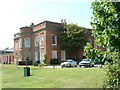
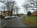
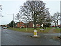
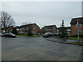
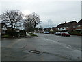
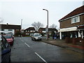
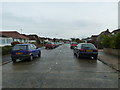
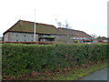
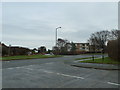
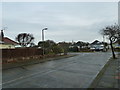
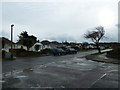
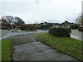
100 photos from this area
Area Information
Key information about the BN12 5BS including its size, population, and administrative classification.
- Area Type
- Postcode
- Area Size
- 3.8 hectares
- Population
- Not available
- Population Density
- Not available
House Prices in BN12 5BS
46
Properties
£334,190
Average Sold Price
£113,000
Lowest Price
£618,500
Highest Price
Showing 46 properties
| Address | Type | Beds | Baths | Last Sale Price | Last Sale Date | |
|---|---|---|---|---|---|---|
| 152 Goring Way, Goring, Worthing, BN12 5BS | Bungalow | 3 | 1 | £530,000 | Oct 2025 | |
| 198 Goring Way, Goring, Worthing, BN12 5BS | Bungalow | 2 | 2 | £500,000 | Mar 2025 | |
| 140 Goring Way, Goring, Worthing, BN12 5BS | Bungalow | 3 | 1 | £425,000 | Apr 2024 | |
| 156 Goring Way, Goring, Worthing, BN12 5BS | Bungalow | 3 | 1 | £390,000 | Mar 2024 | |
| 200 Goring Way, Goring, Worthing, BN12 5BS | Bungalow | 2 | 1 | £453,000 | Nov 2023 | |
| 190 Goring Way, Goring, Worthing, BN12 5BS | Bungalow | 3 | 1 | £618,500 | Feb 2023 | |
| 222 Goring Way, Goring, Worthing, BN12 5BS | Bungalow | 2 | 1 | £530,000 | Dec 2022 | |
| 188 Goring Way, Goring, Worthing, BN12 5BS | Bungalow | 2 | 1 | £565,000 | Jul 2022 | |
| 184 Goring Way, Goring, Worthing, BN12 5BS | Bungalow | 3 | - | £428,500 | Mar 2021 | |
| 178 Goring Way, Goring, Worthing, BN12 5BS | Bungalow | 3 | 1 | £448,000 | Mar 2021 |
Page 1 of 5
Energy Efficiency in BN12 5BS
Amenities
Schools
| Rank | School | Type | Entry gender | Ages |
|---|
Explore more schools in this area
Go to Schools tabDemographics
Household Size
Two person
most common
Accommodation Type
Houses
most common
Tenure
85
majority
Ethnic Group
White
most common
Religion
N/A
most common
Household Composition
N/A
most common
Age
70
median
Elderly (65+ years)
most common
Household Deprivation
N/A
with no deprivation
NS-SEC
38
in Lower managerial occupations
Explore more demographic insights in this area
Go to Demographics tabPlanning
Planning Constraints
- Flood RiskPremium
- Ramsar Wetland SitesPremium
- Area of Outstanding Natural BeautyPremium
- Protected Nature ReservePremium
- Protected WoodlandPremium