Area Overview for BH24 4EN
Photos of BH24 4EN
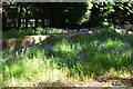
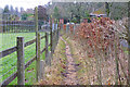
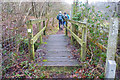
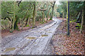
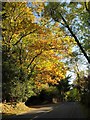
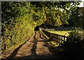
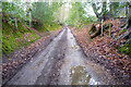
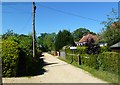
49 photos from this area
Area Information
Key information about the BH24 4EN including its size, population, and administrative classification.
- Area Type
- Postcode
- Area Size
- 18.9 hectares
- Population
- 1298
- Population Density
- 29 people/km²
House Prices in BH24 4EN
22
Properties
£604,167
Average Sold Price
£130,000
Lowest Price
£1,350,000
Highest Price
Showing 22 properties
| Address | Type | Beds | Baths | Last Sale Price | Last Sale Date | |
|---|---|---|---|---|---|---|
| Oak Lodge, 11 Honey Lane, Burley, BH24 4EN | Bungalow | 3 | 2 | £915,000 | Feb 2024 | |
| The Bumbles, 4 Honey Lane, Burley, BH24 4EN | Bungalow | 3 | - | £650,000 | Jul 2021 | |
| The Willows, 19 Honey Lane, Burley, BH24 4EN | Detached | 5 | 3 | £1,350,000 | Nov 2020 | |
| Green Pastures, 14 Honey Lane, Burley, BH24 4EN | Detached | 4 | 1 | £1,229,000 | Mar 2020 | |
| 6 Honey Lane, Burley, BH24 4EN | Bungalow | 3 | 1 | £635,000 | Sep 2019 | |
| Honey Lodge, 17 Honey Lane, Burley, BH24 4EN | Bungalow | 1 | - | £700,000 | Oct 2017 | |
| Sandy Shoot Cottage, 20 Honey Lane, Burley, BH24 4EN | Cottage | 4 | 1 | £1,000,000 | Apr 2017 | |
| 8 Honey Lane, Burley, BH24 4EN | Bungalow | - | - | £527,000 | Aug 2013 | |
| White Copse, 16 Honey Lane, Burley, BH24 4EN | Detached | 4 | 3 | £912,500 | Aug 2011 | |
| The Cottage, 31 Honey Lane, Burley, BH24 4EN | Detached | - | - | £495,000 | Jul 2009 |
Page 1 of 3
Energy Efficiency in BH24 4EN
Amenities
Schools
| Rank | School | Type | Entry gender | Ages |
|---|
Explore more schools in this area
Go to Schools tabDemographics
Household Size
Two person
most common
Accommodation Type
Houses
most common
Tenure
77
majority
Ethnic Group
White
most common
Religion
N/A
most common
Household Composition
N/A
most common
Age
47
median
Adults (30-64 years)
most common
Household Deprivation
N/A
with no deprivation
NS-SEC
45
in Lower managerial occupations
Explore more demographic insights in this area
Go to Demographics tabPlanning
Planning Constraints
- Flood RiskPremium
- Ramsar Wetland SitesPremium
- Area of Outstanding Natural BeautyPremium
- Protected Nature ReservePremium
- Protected WoodlandPremium