Area Overview for BH24 4EE
Photos of BH24 4EE
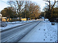
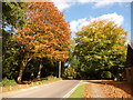
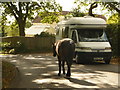
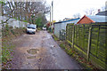

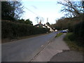
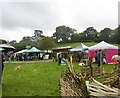
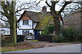
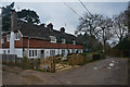
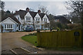
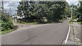
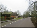
32 photos from this area
Area Information
Key information about the BH24 4EE including its size, population, and administrative classification.
- Area Type
- Postcode
- Area Size
- 8.0 hectares
- Population
- 1298
- Population Density
- 29 people/km²
House Prices in BH24 4EE
18
Properties
£729,636
Average Sold Price
£100,000
Lowest Price
£1,600,000
Highest Price
Showing 18 properties
| Address | Type | Beds | Baths | Last Sale Price | Last Sale Date | |
|---|---|---|---|---|---|---|
| Pound Mead, Pound Lane, Burley, BH24 4EE | Detached | 4 | 3 | £1,600,000 | Apr 2024 | |
| Willow Cottage, Pound Lane, Burley, BH24 4EE | Semi-detached | 4 | 1 | £622,000 | Aug 2023 | |
| Chestnut Cottage, Pound Lane, Burley, BH24 4EE | Semi-detached | 3 | 1 | £607,000 | Sep 2019 | |
| Oak Tree Cottage, Pound Lane, Burley, BH24 4EE | Semi-detached | 4 | 2 | £665,000 | May 2019 | |
| The Pound, Pound Lane, Burley, BH24 4EE | Terraced | 3 | - | £495,000 | Feb 2019 | |
| 2, Shappen Cottage, Pound Lane, Burley, BH24 4EE | Semi-detached | 3 | 1 | £800,000 | Jan 2016 | |
| Fyfield, Pound Lane, Burley, BH24 4EE | Semi-detached | 3 | - | £435,000 | Oct 2014 | |
| Fairwood, Pound Lane, Burley, BH24 4EE | Semi-detached | 3 | 1 | £782,000 | Mar 2006 | |
| Little Pound Farm, Pound Lane, Burley, BH24 4EE | Detached | - | - | £570,000 | Oct 2004 | |
| Shappen House, Pound Lane, Burley, BH24 4EE | Detached | - | - | £1,350,000 | Aug 2000 |
Page 1 of 2
Energy Efficiency in BH24 4EE
Amenities
Schools
| Rank | School | Type | Entry gender | Ages |
|---|
Explore more schools in this area
Go to Schools tabDemographics
Household Size
Two person
most common
Accommodation Type
Houses
most common
Tenure
77
majority
Ethnic Group
White
most common
Religion
N/A
most common
Household Composition
N/A
most common
Age
47
median
Adults (30-64 years)
most common
Household Deprivation
N/A
with no deprivation
NS-SEC
45
in Lower managerial occupations
Explore more demographic insights in this area
Go to Demographics tabPlanning
Planning Constraints
- Flood RiskPremium
- Ramsar Wetland SitesPremium
- Area of Outstanding Natural BeautyPremium
- Protected Nature ReservePremium
- Protected WoodlandPremium