Area Overview for WN5 8SS
Photos of WN5 8SS
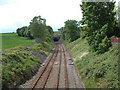

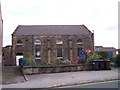
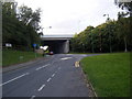
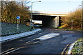
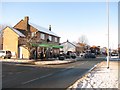

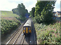
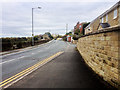
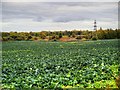
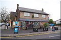
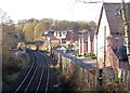
33 photos from this area
Area Information
Key information about the WN5 8SS including its size, population, and administrative classification.
- Area Type
- Postcode
- Area Size
- 4532 m²
- Population
- 2266
- Population Density
- 4061 people/km²
House Prices in WN5 8SS
17
Properties
£127,308
Average Sold Price
£44,000
Lowest Price
£220,000
Highest Price
Showing 17 properties
| Address | Type | Beds | Baths | Last Sale Price | Last Sale Date | |
|---|---|---|---|---|---|---|
| 17 St James Road, Orrell, WN5 8SS | house | 4 | 1 | £195,000 | Feb 2025 | |
| 19 St James Road, Orrell, WN5 8SS | house | - | - | £105,000 | Sep 2024 | |
| 3A St James Road, Orrell, WN5 8SS | Flat | 3 | 1 | £220,000 | Feb 2024 | |
| 35 St James Road, Orrell, WN5 8SS | Terraced | 2 | 1 | £140,000 | Sep 2022 | |
| 25 St James Road, Orrell, WN5 8SS | Terraced | 2 | 1 | £136,500 | Nov 2021 | |
| 5 St James Road, Orrell, WN5 8SS | Terraced | 2 | - | £123,000 | Jul 2021 | |
| 27 St James Road, Orrell, WN5 8SS | house | 2 | 1 | £120,000 | Nov 2020 | |
| 33 St James Road, Orrell, WN5 8SS | house | - | - | £130,000 | Oct 2017 | |
| 31 St James Road, Orrell, WN5 8SS | Terraced | 3 | 1 | £97,000 | May 2014 | |
| 23 St James Road, Orrell, WN5 8SS | Terraced | 2 | 1 | £110,000 | Jul 2010 |
Page 1 of 2
Energy Efficiency in WN5 8SS
Amenities
Schools
| Rank | School | Type | Entry gender | Ages |
|---|
Explore more schools in this area
Go to Schools tabDemographics
Household Size
Family (3-5 people)
most common
Accommodation Type
Houses
most common
Tenure
86
majority
Ethnic Group
White
most common
Religion
N/A
most common
Household Composition
N/A
most common
Age
47
median
Adults (30-64 years)
most common
Household Deprivation
N/A
with no deprivation
NS-SEC
43
in Lower managerial occupations
Explore more demographic insights in this area
Go to Demographics tabPlanning
Planning Constraints
- Flood RiskPremium
- Ramsar Wetland SitesPremium
- Area of Outstanding Natural BeautyPremium
- Protected Nature ReservePremium
- Protected WoodlandPremium