Area Overview for WN4 0TZ
Photos of WN4 0TZ
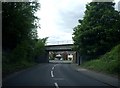
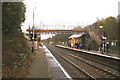
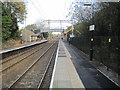
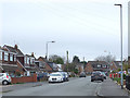
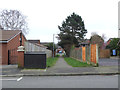
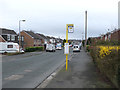
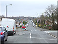
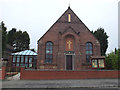
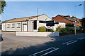
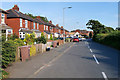
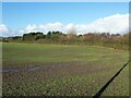
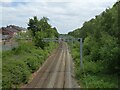
43 photos from this area
Area Information
Key information about the WN4 0TZ including its size, population, and administrative classification.
- Area Type
- Postcode
- Area Size
- 6593 m²
- Population
- 1331
- Population Density
- 2376 people/km²
House Prices in WN4 0TZ
11
Properties
£118,250
Average Sold Price
£63,000
Lowest Price
£150,000
Highest Price
Showing 11 properties
| Address | Type | Beds | Baths | Last Sale Price | Last Sale Date | |
|---|---|---|---|---|---|---|
| 362 Garswood Road, Ashton In Makerfield, St Helens, WN4 0TZ | house | 2 | 1 | £135,000 | Feb 2024 | |
| 400 Garswood Road, Ashton In Makerfield, St Helens, WN4 0TZ | Semi-detached | - | - | £150,000 | Aug 2003 | |
| 404 Garswood Road, Ashton In Makerfield, St Helens, WN4 0TZ | Detached | - | - | £125,000 | Nov 1999 | |
| 398 Garswood Road, Ashton In Makerfield, St Helens, WN4 0TZ | Bungalow | 3 | 2 | £63,000 | Aug 1997 | |
| 360 Garswood Road, Ashton In Makerfield, St Helens, WN4 0TZ | Terraced | 3 | 1 | - | - | |
| Offices, 358A Garswood Road, Ashton In Makerfield, St Helens, WN4 0TZ | Office | - | - | - | - | |
| 358 Garswood Road, Ashton In Makerfield, St Helens, WN4 0TZ | office_workshop | - | - | - | - | |
| 406 Garswood Road, Ashton In Makerfield, St Helens, WN4 0TZ | house | - | - | - | - | |
| 364 Garswood Road, Ashton In Makerfield, St Helens, WN4 0TZ | Terraced | - | - | - | - | |
| 390 Garswood Road, Ashton In Makerfield, St Helens, WN4 0TZ | Detached | - | - | - | - |
Page 1 of 2
Energy Efficiency in WN4 0TZ
Amenities
Schools
| Rank | School | Type | Entry gender | Ages |
|---|
Explore more schools in this area
Go to Schools tabDemographics
Household Size
Two person
most common
Accommodation Type
Houses
most common
Tenure
89
majority
Ethnic Group
White
most common
Religion
N/A
most common
Household Composition
N/A
most common
Age
47
median
Adults (30-64 years)
most common
Household Deprivation
N/A
with no deprivation
NS-SEC
34
in Lower managerial occupations
Explore more demographic insights in this area
Go to Demographics tabPlanning
Planning Constraints
- Flood RiskPremium
- Ramsar Wetland SitesPremium
- Area of Outstanding Natural BeautyPremium
- Protected Nature ReservePremium
- Protected WoodlandPremium